Tam O'Shanter-Sullivan, Toronto
Map

Gallery

Facts and practical information
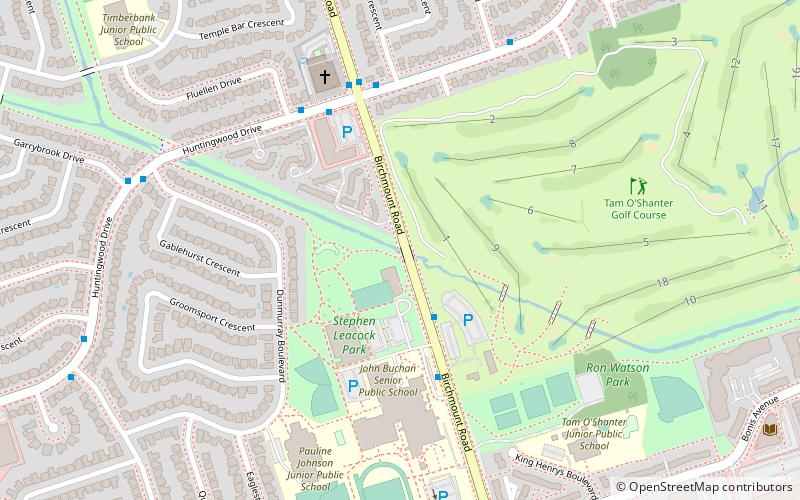
Tam O'Shanter-Sullivan is a neighbourhood in the east end of the city of Toronto, in the district of Scarborough. The neighbourhood is bordered by Huntingwood Drive to the North, Kennedy Road to the East, Highway 401 to the South and Victoria Park to the West. The neighbourhood, which includes the Tam O'Shanter and Sullivan communities, takes its name from Tam O’Shanter Golf Course and O'Sullivan's Corners. ()
Coordinates: 43°47'17"N, 79°18'5"W
Address
Scarborough (Tam O'Shanter - Sullivan)Toronto
ContactAdd
Social media
Add
Day trips
Tam O'Shanter-Sullivan – popular in the area (distance from the attraction)
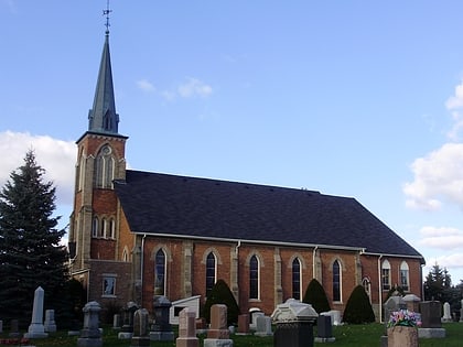
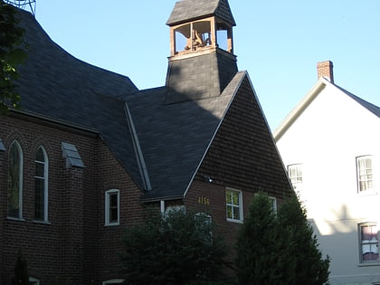
Nearby attractions include: Agincourt Mall, Bridlewood Mall, Agincourt, St. Mary Armenian Apostolic Church.
Frequently Asked Questions (FAQ)
How to get to Tam O'Shanter-Sullivan by public transport?
The nearest stations to Tam O'Shanter-Sullivan:
Bus
Train
Bus
- 2481 Birchmount Road • Lines: 17A, 17B, 17C (3 min walk)
- 2450 Birchmount Road • Lines: 17A, 17B, 17C (4 min walk)
Train
- Agincourt (22 min walk)

 Subway
 Streetcar system
 PATH
PATH


