L'Amoreaux, Toronto
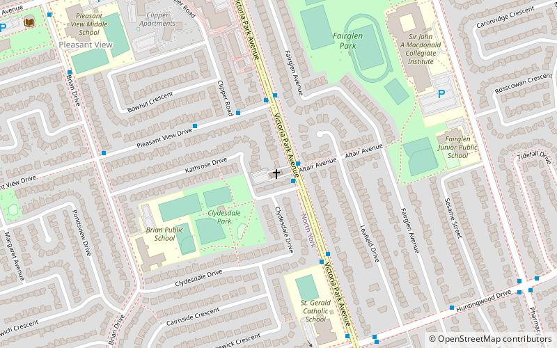
Map

Gallery

Facts and practical information
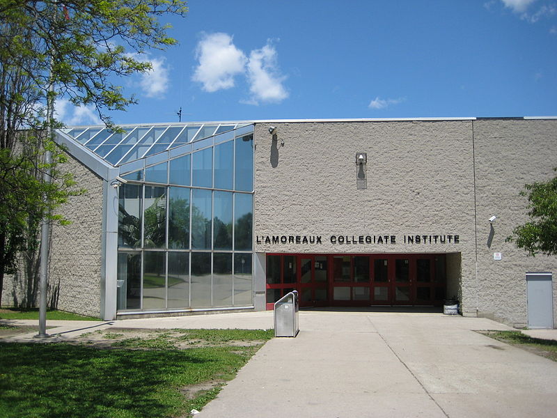
L'Amoreaux is a neighbourhood in Toronto, Ontario, Canada, situated east of Victoria Park Avenue, south of McNicoll Avenue, west of Kennedy Road and north of Huntingwood Drive. L'Amoreaux is named after Josue L'Amoreaux, a French Huguenot loyalist who settled in the area. Prior to the amalgamation of Toronto in 1998, L'Amoreaux was a neighbourhood of the former city of Scarborough, and prior to the amalgamation of municipalities, it formed part of the town of Agincourt. ()
Coordinates: 43°47'40"N, 79°19'33"W
Address
Scarborough (L'Amoreaux)Toronto
ContactAdd
Social media
Add
Day trips
L'Amoreaux – popular in the area (distance from the attraction)
Nearby attractions include: Fairview Mall, Bridlewood Mall, Victoria Park Presbyterian Church, Tam O'Shanter-Sullivan.
Frequently Asked Questions (FAQ)
How to get to L'Amoreaux by public transport?
The nearest stations to L'Amoreaux:
Bus
Bus
- Finch Avenue at Victoria Park Avenue • Lines: 199A, 39B (8 min walk)
- Bridletowne Circle West • Lines: 39B (9 min walk)

 Subway
 Streetcar system
 PATH
PATH


