Edmonton—Mill Woods—Beaumont, Edmonton
Map
Facts and practical information
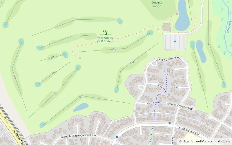
Edmonton—Mill Woods—Beaumont was a federal electoral district in Alberta, Canada, that was represented in the House of Commons of Canada from 2004 to 2015. ()
Coordinates: 53°28'48"N, 113°25'59"W
Address
Southeast Edmonton (Mill Woods Golf Course)Edmonton
ContactAdd
Social media
Add
Getting there by public transportation
Public transportation stops near this location
- Bus
 Bus
Bus
- Calculate routeMillgate Transit Centre 23 min walk
Day trips


Frequently Asked Questions (FAQ)
Which popular attractions are close to Edmonton—Mill Woods—Beaumont?
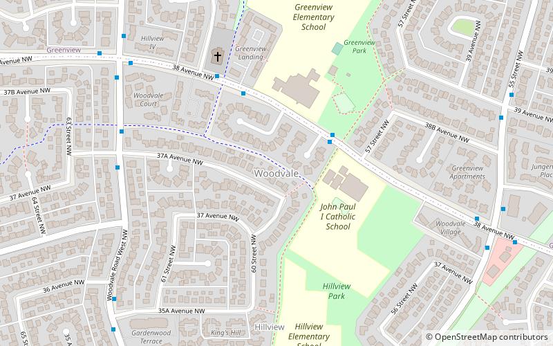
Nearby attractions include Greenview, Edmonton (11 min walk), Woodvale, Edmonton (15 min walk), Michaels Park, Edmonton (15 min walk), Hillview, Edmonton (19 min walk).
How to get to Edmonton—Mill Woods—Beaumont by public transport?
The nearest stations to Edmonton—Mill Woods—Beaumont:
Bus
Bus
- Millgate Transit Centre (23 min walk)