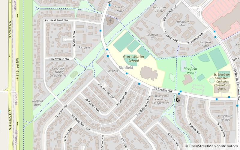
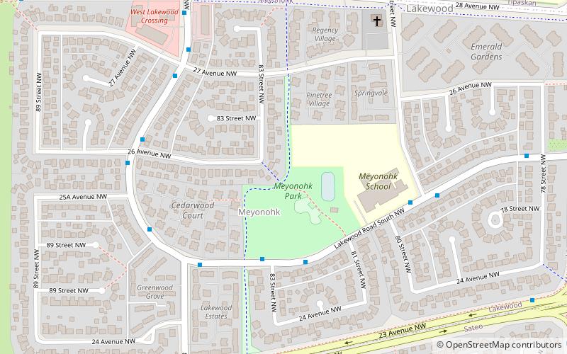
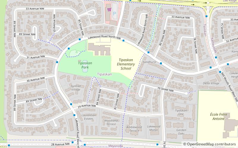
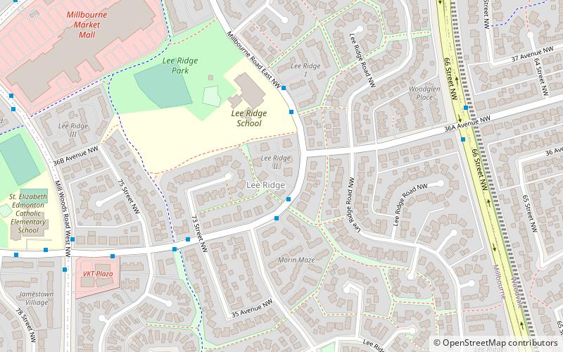
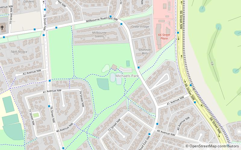
Richfield, Edmonton
Map
Facts and practical information
Area: 0.36 mi²Coordinates: 53°28'9"N, 113°27'32"W
Address
Southeast Edmonton (Richfield)Edmonton
ContactAdd
Social media
Add
Getting there by public transportation
Public transportation stops near this location
- Bus
 Bus
Bus
- Calculate routeLakewood Transit Centre 24 min walk
- Calculate routeMillgate Transit Centre 30 min walk
Day trips


Frequently Asked Questions (FAQ)
Which popular attractions are close to Richfield?
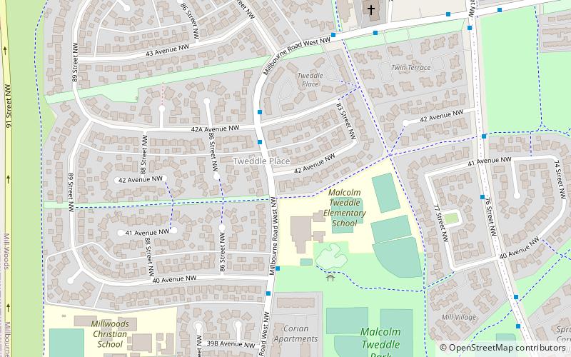
Nearby attractions include Tipaskan, Edmonton (14 min walk), Lee Ridge, Edmonton (16 min walk), Tweddle Place, Edmonton (16 min walk), Michaels Park, Edmonton (22 min walk).
How to get to Richfield by public transport?
The nearest stations to Richfield:
Bus
Bus
- Lakewood Transit Centre • Lines: 74 (24 min walk)
- Millgate Transit Centre (30 min walk)