Wellington Catholic District School Board, Guelph
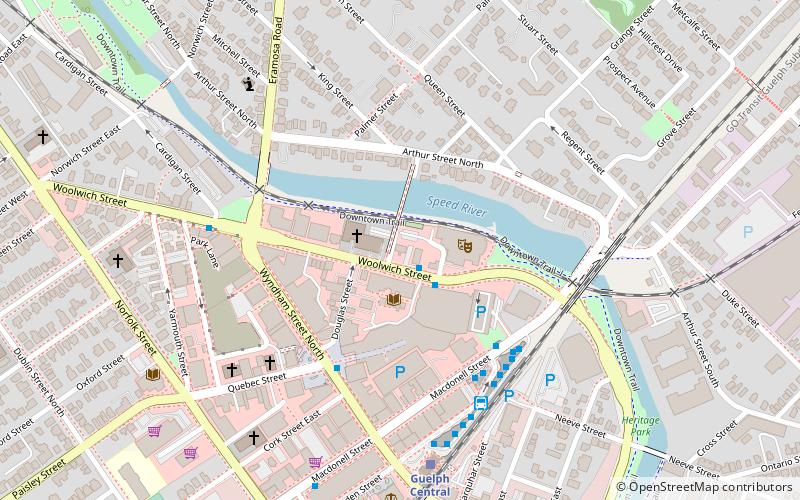
Map
Facts and practical information
Coordinates: 43°32'52"N, 80°14'51"W
Address
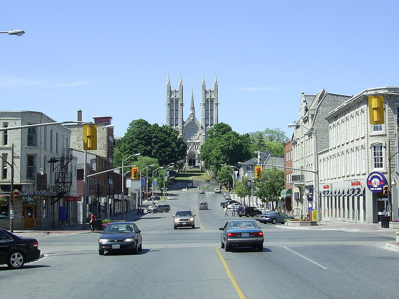
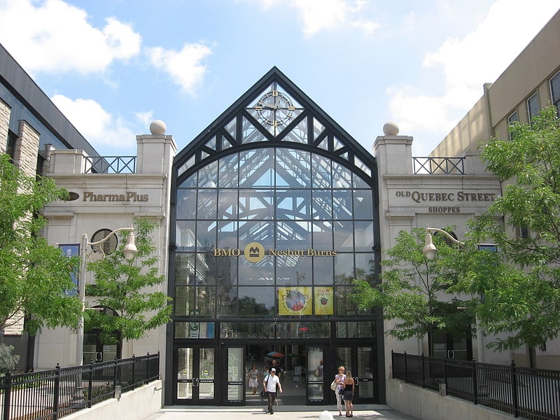
Guelph DowntownGuelph
ContactAdd
Social media
Add
Getting there by public transportation
Public transportation stops near this location
- Bus
- Train
 Bus
Bus
- Calculate routeGuelph Central Station Platform 2 5 min walk
- Calculate routeGuelph Central Station Platform 6 5 min walk
- Calculate routeGuelph Central Station 5 min walk
- Calculate routeGuelph Central Station 6 min walk
Day trips


Frequently Asked Questions (FAQ)
Which popular attractions are close to Wellington Catholic District School Board?
Nearby attractions include River Run Centre, Guelph (2 min walk), Sleeman Centre, Guelph (3 min walk), Downtown Guelph, Guelph (4 min walk), Old City Hall, Guelph (7 min walk).
How to get to Wellington Catholic District School Board by public transport?
The nearest stations to Wellington Catholic District School Board:
Bus
Train
Bus
- Guelph Central Station Platform 2 • Lines: 8 (5 min walk)
- Guelph Central Station Platform 6 • Lines: 3B (5 min walk)
Train
- Guelph Central Station (6 min walk)