Milne Block, Victoria

Gallery (1)
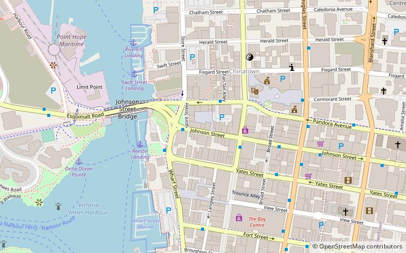
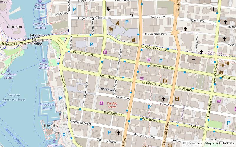
Map
Map
Facts and practical information
Milne Block is an historic building in Victoria, British Columbia, Canada, located at 546-548 Johnson Street, just west of Wharf Street. ()
Coordinates: 48°25'40"N, 123°22'8"W
Address
Downtown VictoriaVictoria
ContactAdd
Social media
Add
Getting there by public transportation
Public transportation stops near this location
- Bus
- Ferry
 Bus
Bus
- Calculate routePandora at Government 2 min walk
- Calculate routeGovernment at Johnson 3 min walk
- Calculate routeWharf at Yates 3 min walk
- Calculate routeJohnson at Broad 4 min walk
- Calculate routeVictoria 12 min walk
Day trips


Frequently Asked Questions (FAQ)
Which popular attractions are close to Milne Block?
Nearby attractions include Market Square, Victoria (1 min walk), Johnson Street Bridge, Victoria (3 min walk), McPherson Playhouse, Victoria (3 min walk), Fan Tan Alley, Victoria (3 min walk).
How to get to Milne Block by public transport?
The nearest stations to Milne Block:
Bus
Ferry
Bus
- Pandora at Government • Lines: 14, 15, 24, 25 (2 min walk)
- Government at Johnson • Lines: 10, 14, 15, 24, 25 (3 min walk)
Ferry
- Victoria • Lines: Seattle-Victoria, Victoria - Port Angeles (12 min walk)