Cory Pass Loop, Banff
Map

Map

Facts and practical information
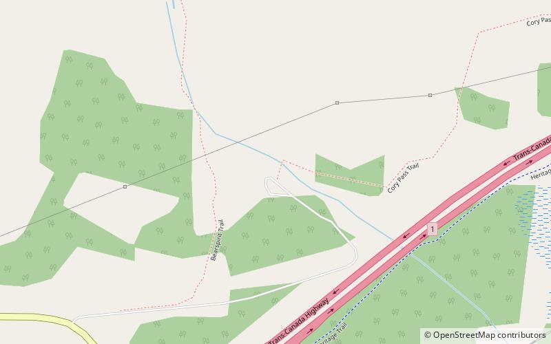
The Cory Pass Loop is a trail located in Banff National Park. The Pass is located outside the city of Banff, Alberta, between Mount Edith and Mount Cory. The pass opens up to Gargoyle Valley; the trail continues around the east side of Mount Edith returning to the original trail head. The total elevation gain is 915 m, and the total distance is 13 km. ()
Coordinates: 51°10'27"N, 115°39'17"W
Address
Banff
ContactAdd
Social media
Add
Day trips
Cory Pass Loop – popular in the area (distance from the attraction)
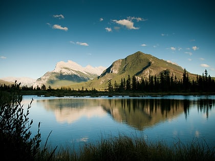
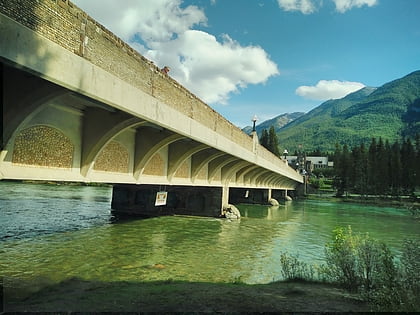
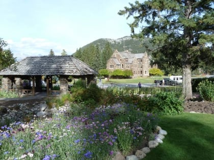
Nearby attractions include: Mt Norquay, Banff Park Museum, Vermilion Lakes, Whyte Museum of the Canadian Rockies.


