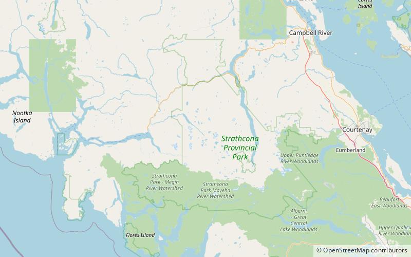
Mount Donner, Strathcona Provincial Park
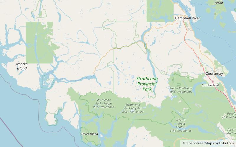
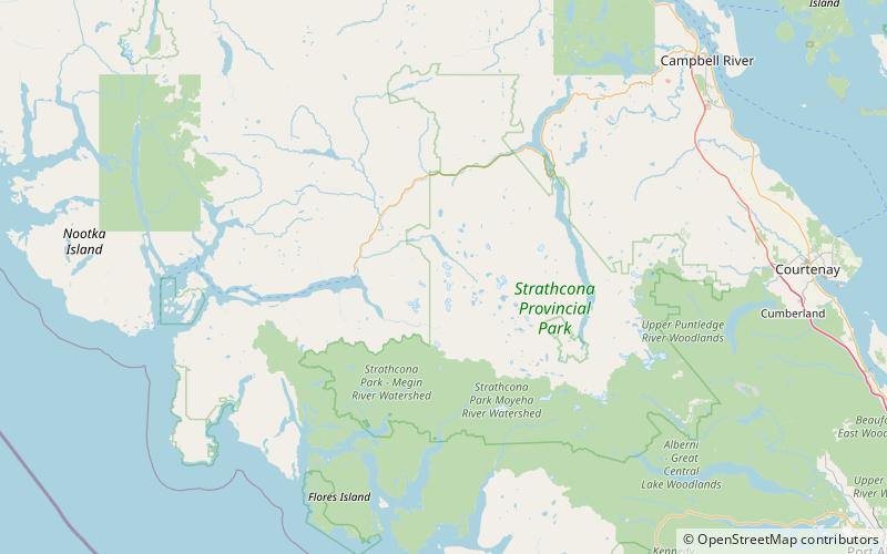
Map
Facts and practical information
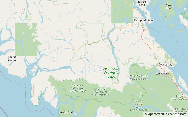
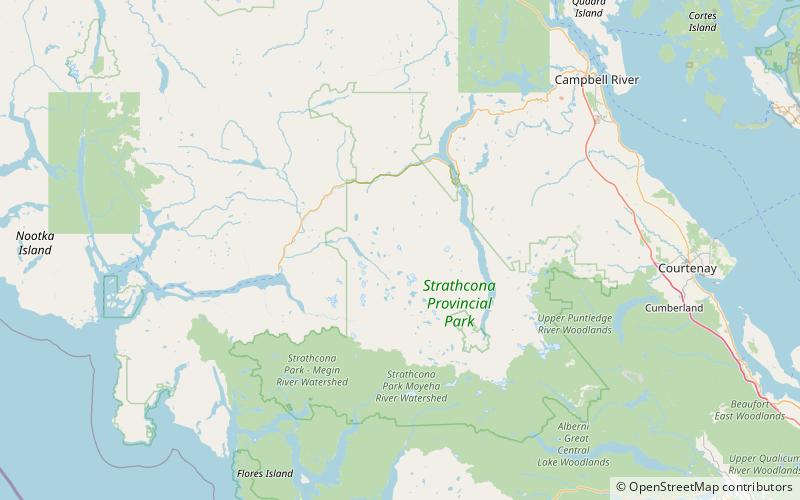
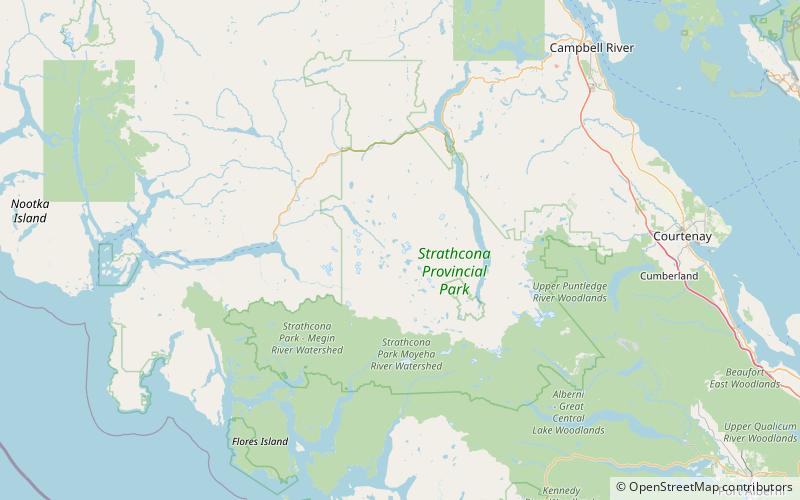
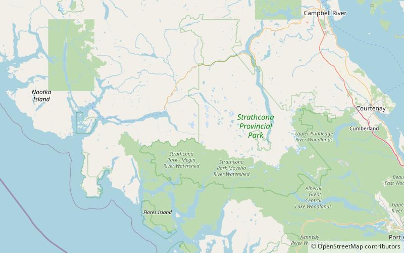
Mount Donner is a mountain on Vancouver Island, British Columbia, Canada, located 15 km southeast of Gold River and 2 km north of Mount Kent-Urquhart. ()
Coordinates: 49°41'23"N, 125°53'32"W
Address
Strathcona Provincial Park
ContactAdd
Social media
Add
Day trips
Mount Donner – popular in the area (distance from the attraction)
Nearby attractions include: Vancouver Island Ranges, Mount Colonel Foster, Rambler Peak, El Piveto Mountain.


