Willoughby Township, Niagara Falls
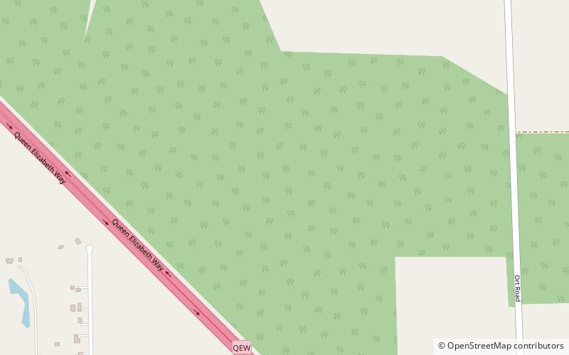
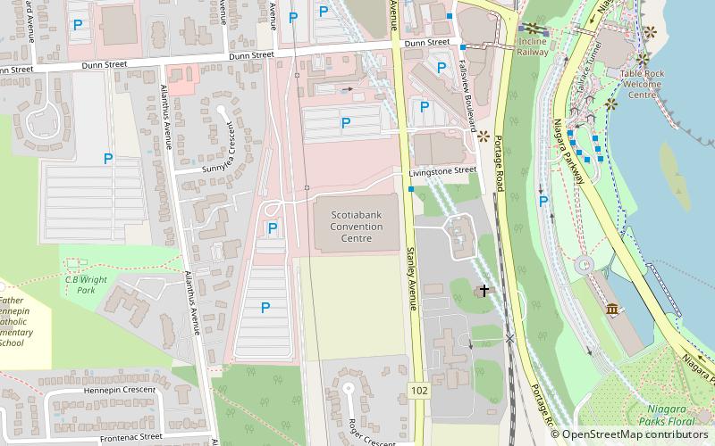
Map
Facts and practical information
Willoughby Township is the rural southern portion of Niagara Falls, Ontario, between the village of Chippawa and the boundary with Fort Erie. Included is historic Navy Island in the Niagara River and the site of the Battle of Chippawa, fought between British and American forces on July 5, 1814. In 1970, most of the township merged with the city of Niagara Falls with the creation of the Regional Municipality of Niagara, ending county government in Niagara. ()
Coordinates: 43°0'39"N, 79°4'38"W
Address
WilloughbyNiagara Falls
ContactAdd
Social media
Add
Day trips
Willoughby Township – popular in the area (distance from the attraction)
Nearby attractions include: Horseshoe Falls, Journey Behind the Falls, Marineland of Canada, Queen Victoria Park.


