Edmonton Centre, Edmonton
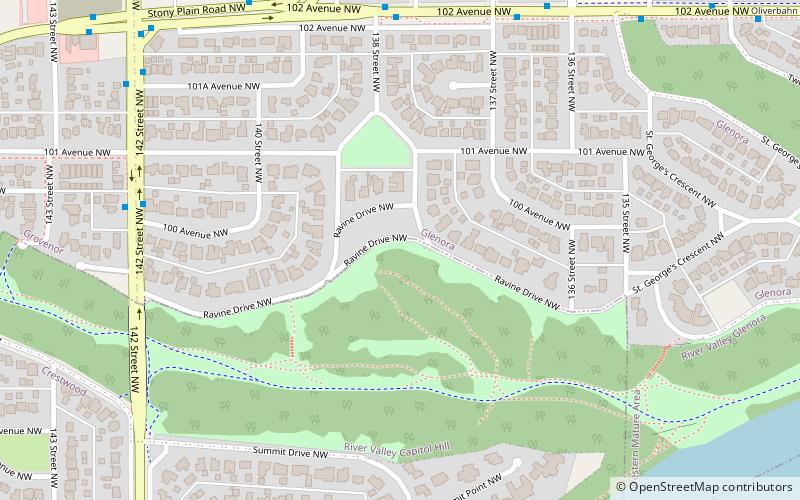
Map
Facts and practical information
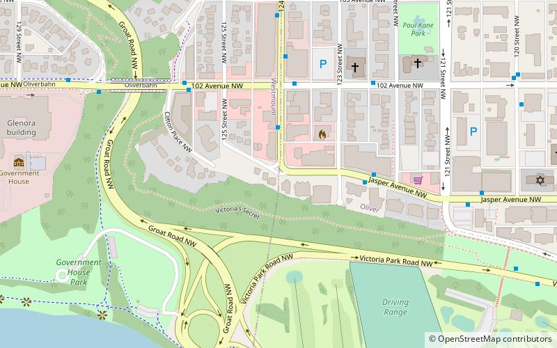
Edmonton Centre is a federal electoral district in Alberta, Canada, that has been represented in the House of Commons of Canada from 1968 to 1979 and since 2004. ()
Coordinates: 53°32'24"N, 113°33'36"W
Address
West Edmonton (River Valley Capitol Hill)Edmonton
ContactAdd
Social media
Add
Day trips
Edmonton Centre – popular in the area (distance from the attraction)
Nearby attractions include: William Hawrelak Park, 124 Street, Robertson-Wesley United Church, Roxy Theatre.
Frequently Asked Questions (FAQ)
Which popular attractions are close to Edmonton Centre?
Nearby attractions include Edmonton-Centre, Edmonton (1 min walk), Glenora, Edmonton (10 min walk), Grovenor, Edmonton (16 min walk), Groat Bridge, Edmonton (23 min walk).
How to get to Edmonton Centre by public transport?
The nearest stations to Edmonton Centre:
Bus
Bus
- 138 Street & 102 Ave • Lines: 2, 2-Owl (6 min walk)
- 137 Street & 102 Ave • Lines: 2, 2-Owl (6 min walk)
