Henry Farm, Toronto
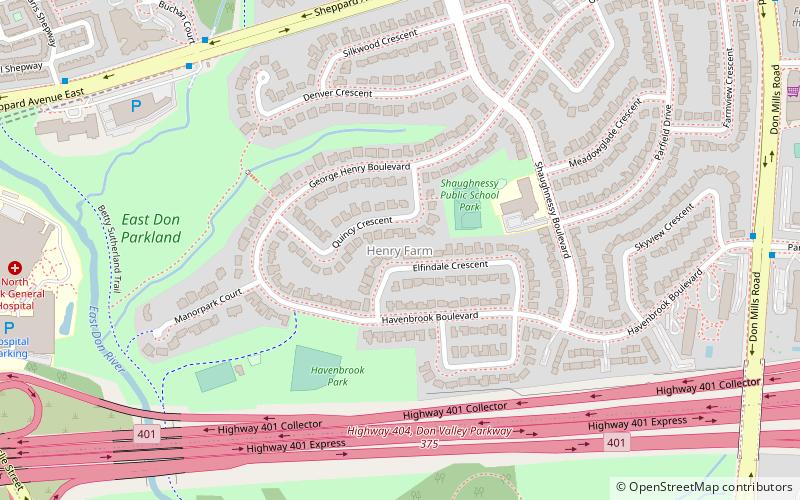
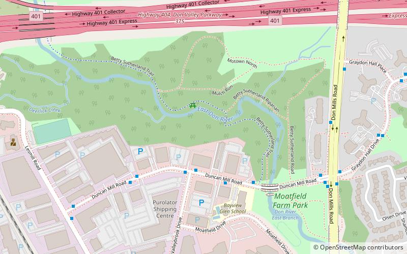
Map

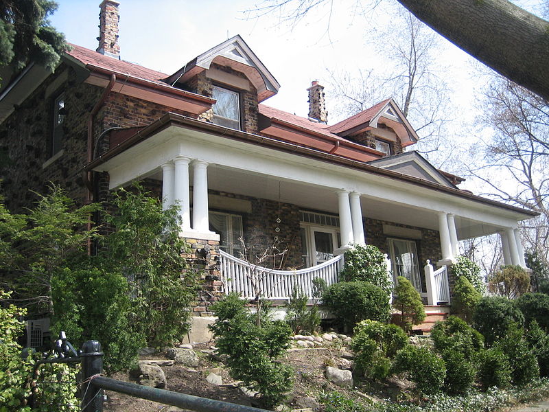
Gallery

Facts and practical information
Henry Farm is a neighbourhood in the City of Toronto, Ontario, Canada. It is located in the north central part of the city within the former city of North York. ()
Coordinates: 43°46'10"N, 79°21'15"W
Address
North York (Henry Farm)Toronto
ContactAdd
Social media
Add
Day trips
Henry Farm – popular in the area (distance from the attraction)
Nearby attractions include: Fairview Mall, Moatfield Ossuary, Don Valley Village, Parkway Forest.
Frequently Asked Questions (FAQ)
Which popular attractions are close to Henry Farm?
Nearby attractions include Moatfield Ossuary, Toronto (12 min walk), Parkway Forest, Toronto (16 min walk), Graydon Hall, Toronto (18 min walk).
How to get to Henry Farm by public transport?
The nearest stations to Henry Farm:
Bus
Train
Metro
Bus
- North York General Hospital - Main Entrance • Lines: 51 (12 min walk)
- Opposite Oriole GO Station • Lines: 51 (13 min walk)
Train
- Oriole (15 min walk)
Metro
- Don Mills • Lines: 4 (15 min walk)
- Leslie • Lines: 4 (15 min walk)

 Subway
 Streetcar system
 PATH
PATH


