Parkway Forest, Toronto

Gallery (1)
Map
Map
Facts and practical information
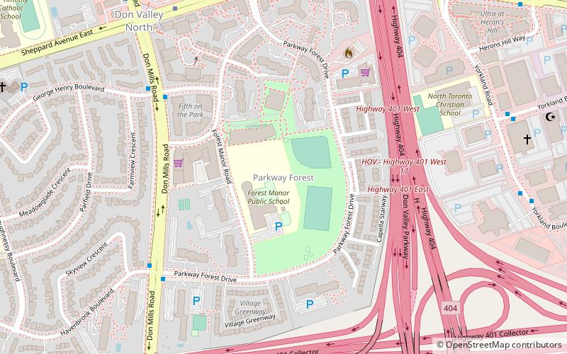
Parkway Forest is a neighbourhood in Toronto, Ontario, Canada. It is located in the north of the city, in the former City of North York, which was merged with five other municipalities and a regional government to form the new "City of Toronto" in 1998. ()
Coordinates: 43°46'18"N, 79°20'34"W
Address
102 Parkway Forest DriveNorth York (Henry Farm)Toronto
ContactAdd
Social media
Add
Getting there by public transportation
Public transportation stops near this location
- Metro
- Bus
- Train
 Metro
Metro
- Calculate routeDon Mills 8 min walk
- Calculate routeLeslie 30 min walk
- Calculate routeDon Mills Bus Terminal 9 min walk
- Calculate route251 Consumers Road;Consumers Rd. @ William Sylvester Dr. 16 min walk
- Calculate route250 Consumers Road;Consumers Rd. @ William Sylvester Dr. 16 min walk
- Calculate routeNorth York General Hospital - Main Entrance 27 min walk
- Calculate routeOriole 30 min walk
Maps SubwayMaps
 Streetcar systemMaps
 PATH
PATH
SubwayMapsStreetcar systemMapsPATHDay trips


Frequently Asked Questions (FAQ)
Which popular attractions are close to Parkway Forest?
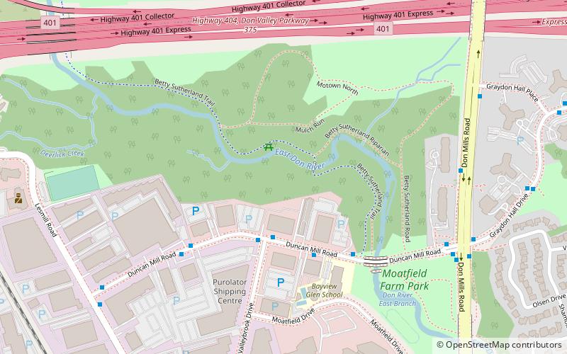
Nearby attractions include Graydon Hall, Toronto (14 min walk), Henry Farm, Toronto (16 min walk), Moatfield Ossuary, Toronto (20 min walk).
How to get to Parkway Forest by public transport?
The nearest stations to Parkway Forest:
Metro
Bus
Train
Metro
- Don Mills • Lines: 4 (8 min walk)
- Leslie • Lines: 4 (30 min walk)
Bus
- Don Mills Bus Terminal (9 min walk)
- 251 Consumers Road;Consumers Rd. @ William Sylvester Dr. • Lines: 41 (16 min walk)
Train
- Oriole (30 min walk)