Armstrong's Point, Winnipeg
Map
Gallery
Facts and practical information
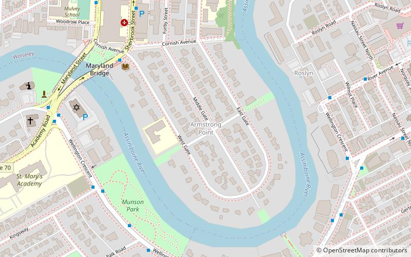
Armstrong's Point is a neighbourhood in Winnipeg, Manitoba. It is located in the West End of the city and in a large bend in the Assiniboine River. The land was developed in the late 19th and early 20th centuries as a residential district. ()
Coordinates: 49°52'36"N, 97°9'24"W
Address
Central Winnipeg (Armstrong Point)Winnipeg
ContactAdd
Social media
Add
Day trips
Armstrong's Point – popular in the area (distance from the attraction)
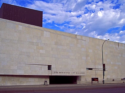
Nearby attractions include: Manitoba Legislative Building, RBC Convention Centre Winnipeg, Winnipeg Art Gallery, Osborne Stadium.
Frequently Asked Questions (FAQ)
Which popular attractions are close to Armstrong's Point?
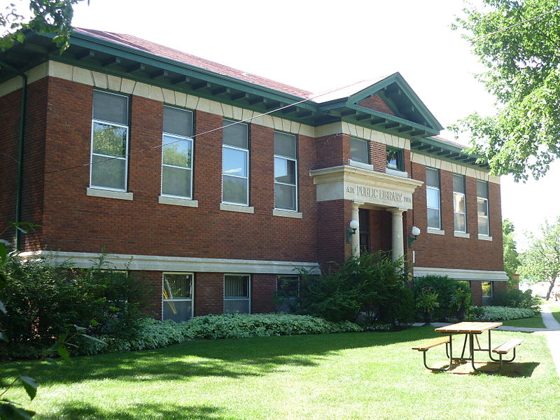
Nearby attractions include Cornish Library, Winnipeg (5 min walk), Maryland Bridge, Winnipeg (6 min walk), Shaarey Zedek Synagogue, Winnipeg (7 min walk), The Stoneware Gallery, Winnipeg (12 min walk).
How to get to Armstrong's Point by public transport?
The nearest stations to Armstrong's Point:
Bus
Train
Bus
- Northbound Sherbrook at West Gate • Lines: 20, 29, 635 (6 min walk)
- Westbound Wellington at Kingsway • Lines: 635 (6 min walk)
Train
- Winnipeg (34 min walk)


