Benny Farm, Montreal
Map
Facts and practical information
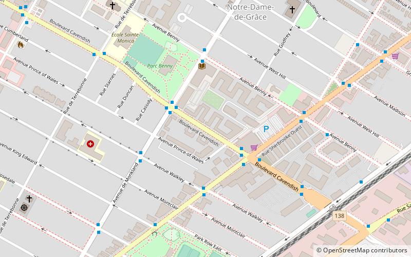
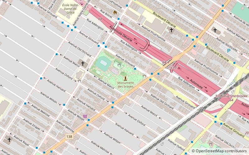
Benny Farm is a residential development in the Notre-Dame-de-Grâce district of Montreal, originally developed in the late 1940s by the Government of Canada for returning veterans of the Second World War and their families. In 2010, the area was official renamed as Aire Benny by the borough of Côte-des-Neiges–Notre-Dame-de-Grâce. ()
Coordinates: 45°27'52"N, 73°37'51"W
Address
Côte-des-Neiges-Notre-Dame-de-Gráce (Loyola)Montreal
ContactAdd
Social media
Add
Getting there by public transportation
Public transportation stops near this location
- Metro
- Bus
- Train
 Metro
Metro
- Calculate routeCavendish / de Monkland 3 min walk
- Calculate routede Monkland / Cavendish 3 min walk
- Calculate routeSherbrooke / Cavendish 3 min walk
- Calculate routeCavendish / Sherbrooke 3 min walk
- Calculate routeMontreal West 24 min walk
- Calculate routeVilla-Maria 30 min walk
Maps Metro
Metro
MetroDay trips


Frequently Asked Questions (FAQ)
Which popular attractions are close to Benny Farm?
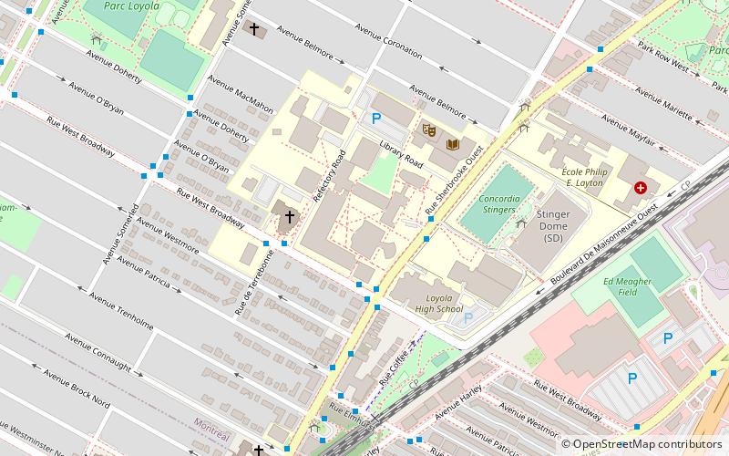
Nearby attractions include Notre Dame Island, Montreal (6 min walk), Saint-Jacques Escarpment, Montreal (14 min walk), St. Ignatius of Loyola Church, Montreal (19 min walk), Loyola, Montreal (21 min walk).
How to get to Benny Farm by public transport?
The nearest stations to Benny Farm:
Bus
Train
Metro
Bus
- Cavendish / de Monkland • Lines: 104-E, 104-O, 138-E, 138-O (3 min walk)
- de Monkland / Cavendish • Lines: 162-E, 162-O (3 min walk)
Train
- Montreal West (24 min walk)
Metro
- Villa-Maria • Lines: 2 (30 min walk)