Wasootch Peak, Kananaskis Country
Map

Gallery

Facts and practical information
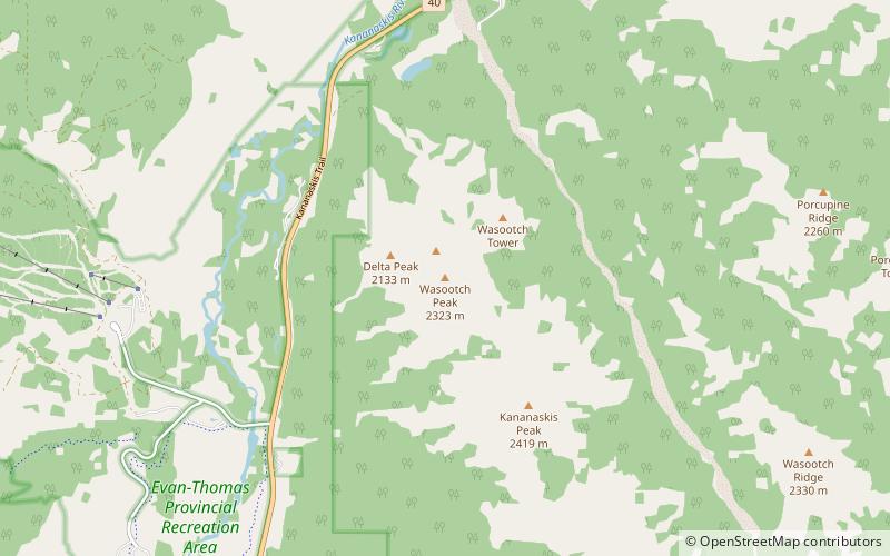
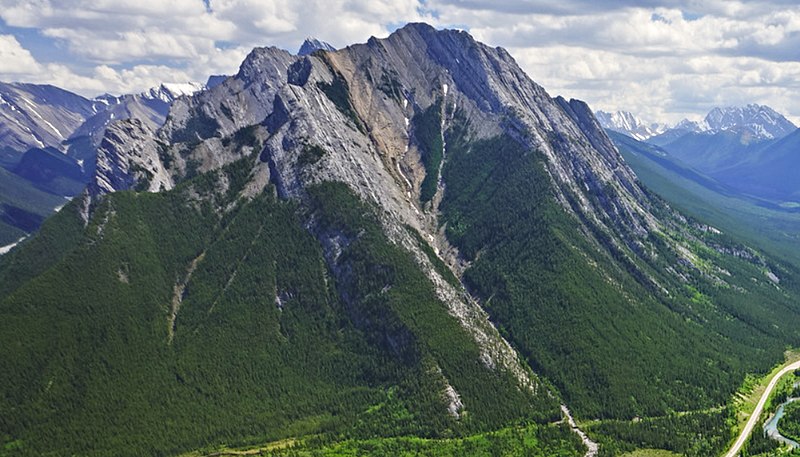
Wasootch Peak is a 2,352-metre mountain summit located in the Fisher Range of Kananaskis Country in the Canadian Rockies of Alberta, Canada. The peak is situated on the northern end of the ridge that separates Wasootch Creek from the Kananaskis River. Wasootch Peak's nearest higher peak is Old Baldy, 1.54 km to the southeast. The peak may be seen from Highway 40, and is prominently featured from the ski slopes at Nakiska. Wasootch is from the Stoney language word wazi, which translated means unique. ()
Coordinates: 50°56'47"N, 115°5'60"W
Address
Kananaskis Country
ContactAdd
Social media
Add
Day trips
Wasootch Peak – popular in the area (distance from the attraction)
Nearby attractions include: Golf Course, Nakiska, Barrier Lake, Mount Kidd.


