Parkwoods, Toronto
Map
Gallery
Facts and practical information
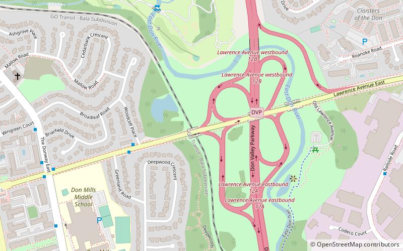
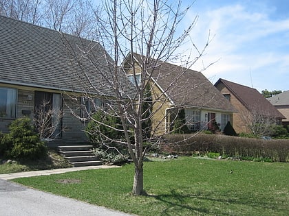
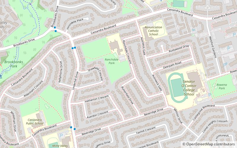
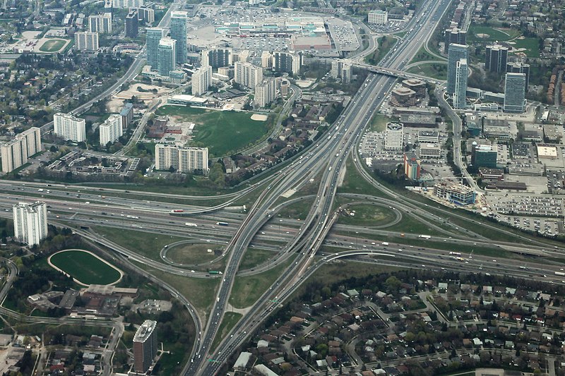
Parkwoods or sometimes referred to as Parkwoods-Donalda, is a neighbourhood in Toronto, Ontario, Canada. It is a geographically large neighbourhood located just south of Ontario Highway 401, west of Victoria Park Avenue, north of Lawrence Avenue East and east of the Don Valley Parkway. ()
Area: 1.82 mi²Coordinates: 43°45'4"N, 79°19'23"W
Address
North York (Parkwoods)Toronto
ContactAdd
Social media
Add
Day trips
Parkwoods – popular in the area (distance from the attraction)
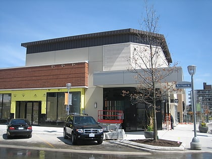
Nearby attractions include: Shops at Don Mills, Parkway Mall, Church of St. Jude, Milne Hollow.
Frequently Asked Questions (FAQ)
How to get to Parkwoods by public transport?
The nearest stations to Parkwoods:
Bus
Bus
- Corner Brook Drive • Lines: 91C, 91D (14 min walk)
- Combermere Drive • Lines: 95A, 95B, 95C (14 min walk)

 Subway
 Streetcar system
 PATH
PATH