Don Mills, Toronto
Map
Gallery
Facts and practical information
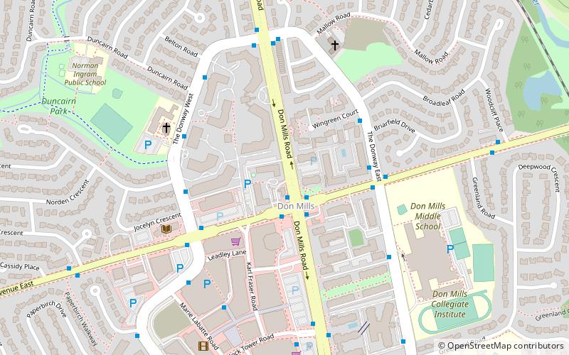
Don Mills is a mixed-use neighbourhood in the North York district of Toronto, Ontario, Canada. It was developed to be a self-supporting "new town" and was at the time located outside Toronto proper. In 1998, North York, including the Don Mills community, was amalgamated into Toronto proper. Consisting of residential, commercial and industrial sub-districts, it was planned and developed by private enterprise. ()
Coordinates: 43°44'16"N, 79°20'38"W
Address
North York (Don Mills)Toronto
ContactAdd
Social media
Add
Day trips
Don Mills – popular in the area (distance from the attraction)
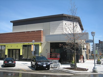
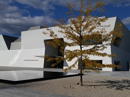
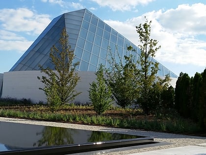
Nearby attractions include: Sunnybrook Park, Shops at Don Mills, Aga Khan Museum, Toronto Botanical Garden.
Frequently Asked Questions (FAQ)
Which popular attractions are close to Don Mills?
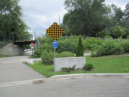
Nearby attractions include Milne Hollow, Toronto (13 min walk), Don Mills Trail, Toronto (15 min walk), Toronto Botanical Garden, Toronto (20 min walk), Edwards Gardens and the Toronto Botanical Gardens, Toronto (23 min walk).
How to get to Don Mills by public transport?
The nearest stations to Don Mills:
Bus
Bus
- Don Mills Road • Lines: 54A, 54B (2 min walk)
- The Donway West • Lines: 54A, 54B (4 min walk)
 Subway
 Streetcar system
 PATH
PATH
