Centerm, Vancouver
Map
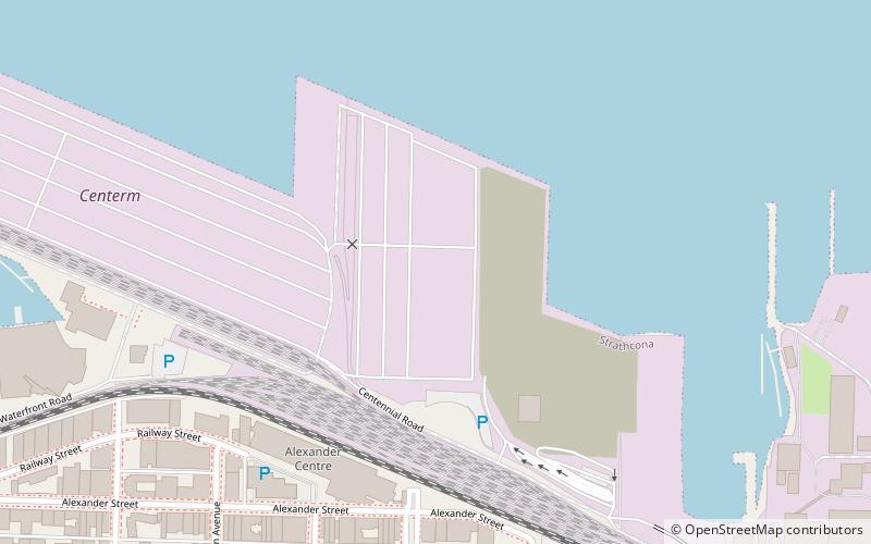
Map

Facts and practical information
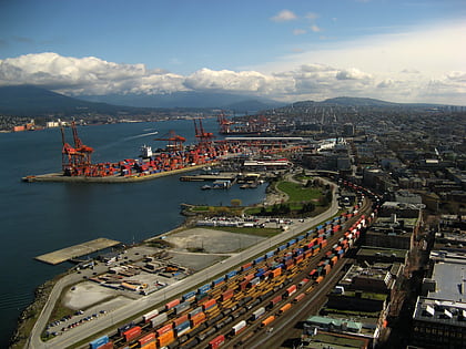
Centerm is short for Centennial Terminals, a major dock in Vancouver's East Side. With the conversion to containerization and modular transport, the open pallet transport of goods that had prevailed on the waterfront was over. As such larger, newer facilities were needed by the late 1960s. With the shipping rules changed in 1968, container cranes and flat wharf space became paramount. ()
Coordinates: 49°17'13"N, 123°5'20"W
Address
StrathconaVancouver
ContactAdd
Social media
Add
Day trips
Centerm – popular in the area (distance from the attraction)
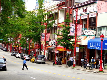
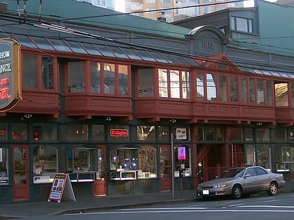
Nearby attractions include: Fortune Sound Club, Dr. Sun Yat-Sen Classical Chinese Garden, Woodward's Building, Sam Kee Building.
Frequently Asked Questions (FAQ)
Which popular attractions are close to Centerm?
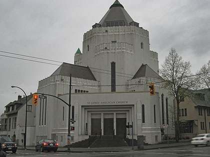
Nearby attractions include Ballantyne Pier, Vancouver (2 min walk), Oppenheimer Park, Vancouver (10 min walk), Port of Vancouver, Vancouver (11 min walk), St. James Anglican Church, Vancouver (13 min walk).
How to get to Centerm by public transport?
The nearest stations to Centerm:
Trolleybus
Bus
Ferry
Train
Metro
Trolleybus
- Powell St at Heatley Ave • Lines: 4, 7 (7 min walk)
- East Cordova St at Heatley Ave • Lines: 4, 7 (9 min walk)
Bus
- East Cordova Street FS Main Street • Lines: 210, 211 (15 min walk)
- Main St at Powell • Lines: 210, 211 (15 min walk)
Ferry
- Waterfront • Lines: SeaBus (23 min walk)
- Village Dock • Lines: Aquabus, False Creek Ferries Route 3 (32 min walk)
Train
- Vancouver Pacific Central (26 min walk)
- Waterfront (26 min walk)
Metro
- Stadium–Chinatown • Lines: Expo Line (27 min walk)
- Waterfront • Lines: Canada Line, Expo Line (28 min walk)
 SkyTrain