Katimavik-Hazeldean

Map
Facts and practical information
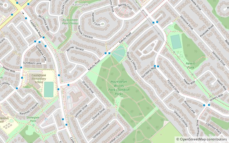
Katimavik-Hazeldean is a neighbourhood in Kanata South Ward in the west end of Ottawa, Ontario, Canada. It is located in the former City of Kanata which amalgamated into Ottawa in 2001. It is located in south-central Kanata, bounded by Eagleson Road to the east, Hazeldean Road to the south, the Carp River to the west, and Highway 417 to the north. ()
Coordinates: 45°18'20"N, 75°53'30"W
Location
Ontario
ContactAdd
Social media
Add
Day trips
Katimavik-Hazeldean – popular in the area (distance from the attraction)
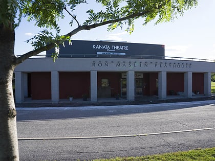
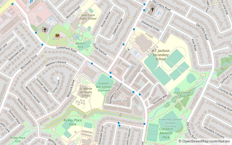
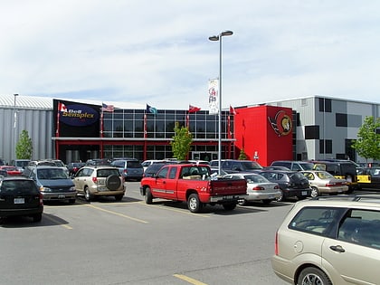
Nearby attractions include: Hazeldean Mall, Kanata Theatre, Eagleson station, Glen Cairn.


