Eagleson station, Ottawa
Map
Map

Facts and practical information
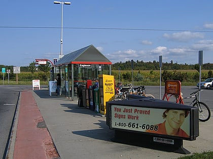
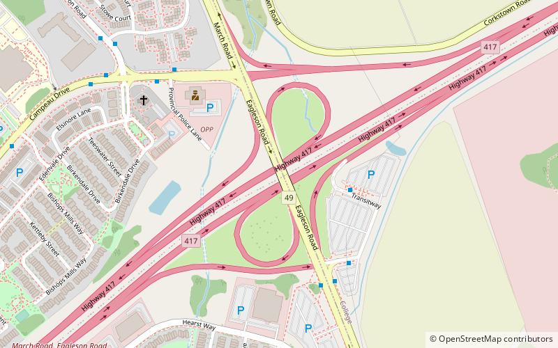
Eagleson is a station on Ottawa, Ontario's transitway served by OC Transpo buses. It is located in the western transitway section at Eagleson Road and Highway 417. Eastbound buses enter the station; westbound buses remain on Eagleson and service is from an adjacent bus stop. ()
Coordinates: 45°19'13"N, 75°53'10"W
Address
Katimavik-HazeldeanOttawa
ContactAdd
Social media
Add
Day trips
Eagleson station – popular in the area (distance from the attraction)
Nearby attractions include: Marshes Golf Club, Canadian Tire Centre, Hazeldean Mall, Dick Bell Park.
Frequently Asked Questions (FAQ)
How to get to Eagleson station by public transport?
The nearest stations to Eagleson station:
Bus
Bus
- Eagleson 2B • Lines: 257, 265, 267, 268, 301, 303, 61, 62, 63, 64 (3 min walk)
- Eagleson 3A • Lines: 164, 166, 168, 257, 267, 301, 303, 61, Bus 110 (5 min walk)
