The Melville, Vancouver
Map
Map

Facts and practical information
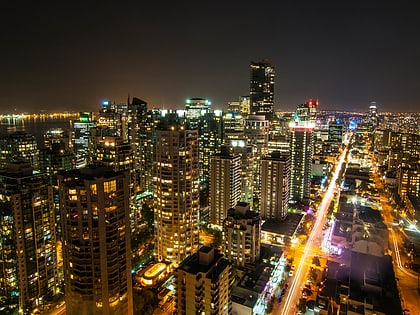
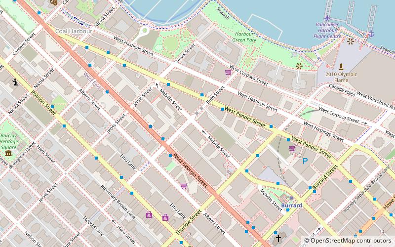
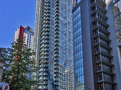
The Melville is a skyscraper located at 1189 Melville Street in the Coal Harbour neighbourhood of the city's downtown core of Vancouver, British Columbia, Canada. The building is the sixth tallest building in the city. The Melville is also the tallest fully residential building in Western Canada. There is also a smaller building as part of the complex, which serves as a hotel. The hotel is under the Loden brand, a boutique hotel chain. ()
Coordinates: 49°17'16"N, 123°7'26"W
Address
Downtown VancouverVancouver
Contact
+1 604-681-9997
Social media
Add
Day trips
The Melville – popular in the area (distance from the attraction)
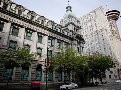
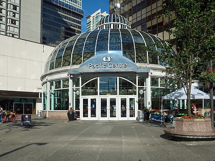
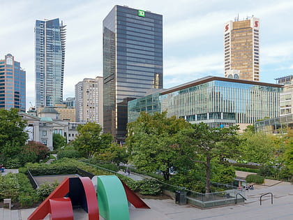
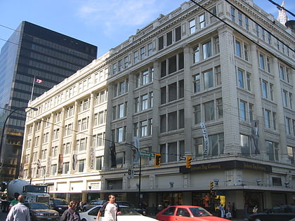
Nearby attractions include: Robson Street, Vancouver Art Gallery, Sinclair Centre, Pacific Centre.
Frequently Asked Questions (FAQ)
Which popular attractions are close to The Melville?
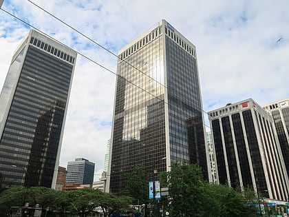
Nearby attractions include Trump International Hotel and Tower, Vancouver (2 min walk), First Church of Christ, Vancouver (3 min walk), Seawall, Vancouver (7 min walk), Shaw Tower, Vancouver (7 min walk).
How to get to The Melville by public transport?
The nearest stations to The Melville:
Trolleybus
Bus
Metro
Train
Ferry
Trolleybus
- West Pender St at Bute St • Lines: 19 (2 min walk)
- Robson St at Bute St • Lines: 5 (5 min walk)
Bus
- West Georgia Street at Bute Street • Lines: 240, 246, 250 (3 min walk)
- Burrard Station Bay 4 • Lines: 22 (4 min walk)
Metro
- Burrard • Lines: Expo Line (7 min walk)
- Vancouver City Centre • Lines: Canada Line (12 min walk)
Train
- Waterfront (15 min walk)
- Vancouver Pacific Central (39 min walk)
Ferry
- Waterfront • Lines: SeaBus (18 min walk)
- Aquatic Centre Dock • Lines: False Creek Ferries Route 1, False Creek Ferries Route 2 (25 min walk)
 SkyTrain