Applewood, Mississauga

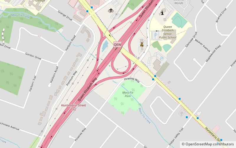
Map
Facts and practical information
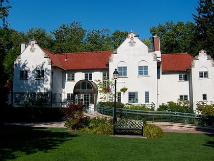
Applewood is a suburban district consisting of a collection of neighbourhoods in the city of Mississauga, Ontario, Canada. It is bordered by Burnhamthorpe Road, Cawthra Road, the Queen Elizabeth Way, and the Etobicoke Creek. It is named for the apple orchards which predominated in the area prior to its development. ()
Coordinates: 43°33'60"N, 79°35'60"W
Address
MineolaMississauga
ContactAdd
Social media
Add
Day trips
Applewood – popular in the area (distance from the attraction)
Nearby attractions include: Square One, Dixie Outlet Mall, Toronto Golf Club, Mississauga Celebration Square.
Frequently Asked Questions (FAQ)
How to get to Applewood by public transport?
The nearest stations to Applewood:
Bus
Train
Bus
- Mineola Road • Lines: 103 (16 min walk)
- Queensway • Lines: 103 (17 min walk)
Train
- Port Credit (25 min walk)


