Lawrence Manor, Toronto
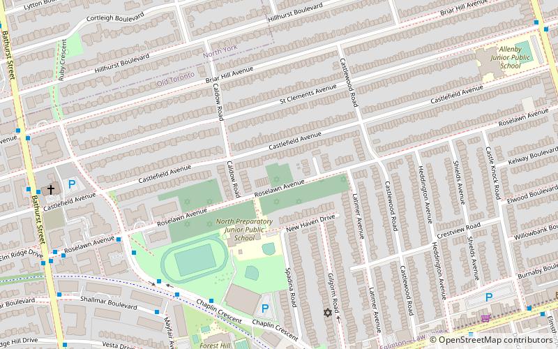
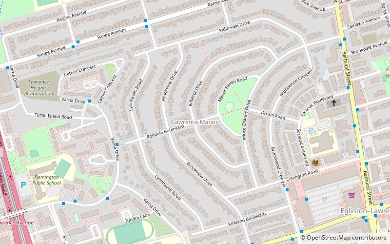
Map
Gallery
Facts and practical information
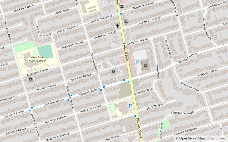
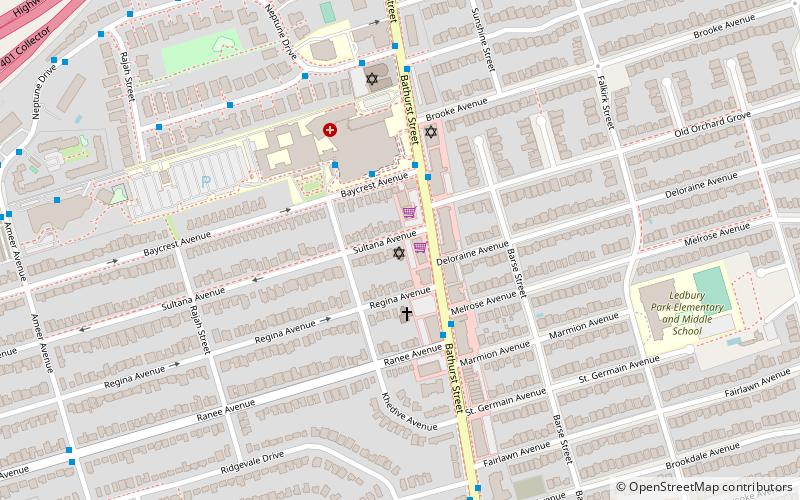
Lawrence Manor is a neighbourhood in the city of Toronto, Ontario, Canada. This neighbourhood is bounded by Bathurst Street on the east, Highway 401 to the north, the Allen to the west, and Lawrence Avenue to the south. The western side of the area borders along Bathurst Heights and the large public housing project. ()
Coordinates: 43°43'19"N, 79°26'15"W
Address
North York (Lawrence Manor)Toronto
ContactAdd
Social media
Add
Day trips
Lawrence Manor – popular in the area (distance from the attraction)
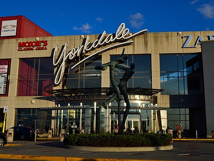
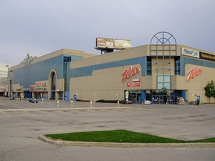
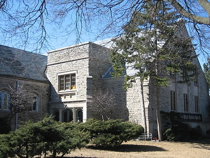
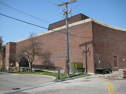
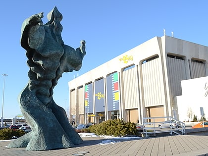
Nearby attractions include: Yorkdale Shopping Centre, Lawrence Allen Centre, Congregation Habonim Toronto, Asbury & West United Church.
Frequently Asked Questions (FAQ)
Which popular attractions are close to Lawrence Manor?
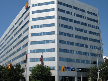
Nearby attractions include Asbury & West United Church, Toronto (8 min walk), Stashover-Slipia Congregation, Toronto (13 min walk), Lawrence Heights, Toronto (17 min walk), CIBC 750 Lawrence, Toronto (20 min walk).
How to get to Lawrence Manor by public transport?
The nearest stations to Lawrence Manor:
Bus
Metro
Bus
- 25 Brucewood Crescent • Lines: 400 (7 min walk)
- Lawrence Plaza Canada Trust • Lines: 400 (8 min walk)
Metro
- Yorkdale • Lines: 1 (14 min walk)
- Lawrence West • Lines: 1 (15 min walk)

 Subway
 Streetcar system
 PATH
PATH