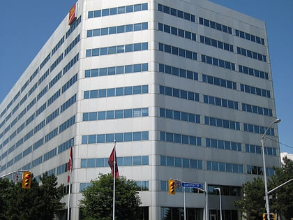
Shaarei Shomayim, Toronto
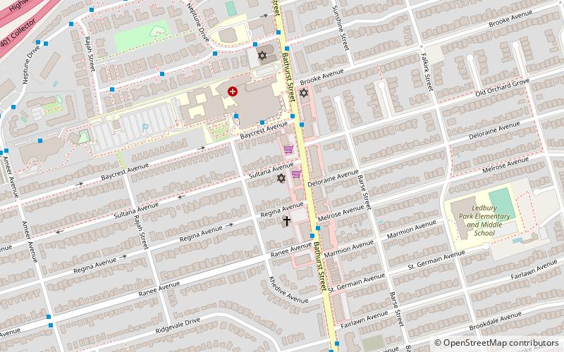
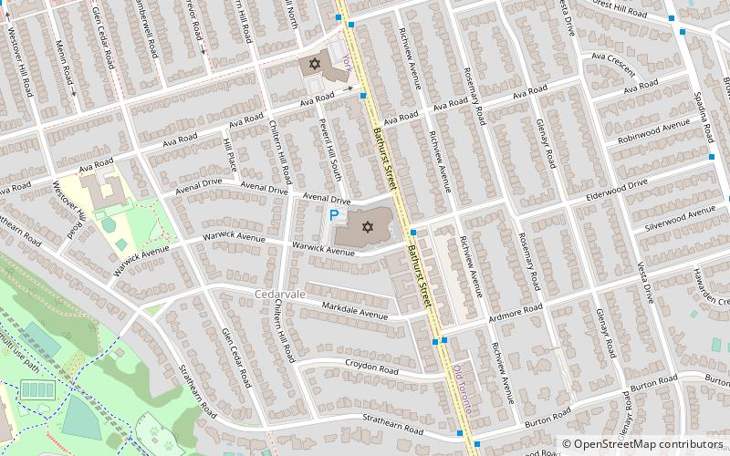
Map
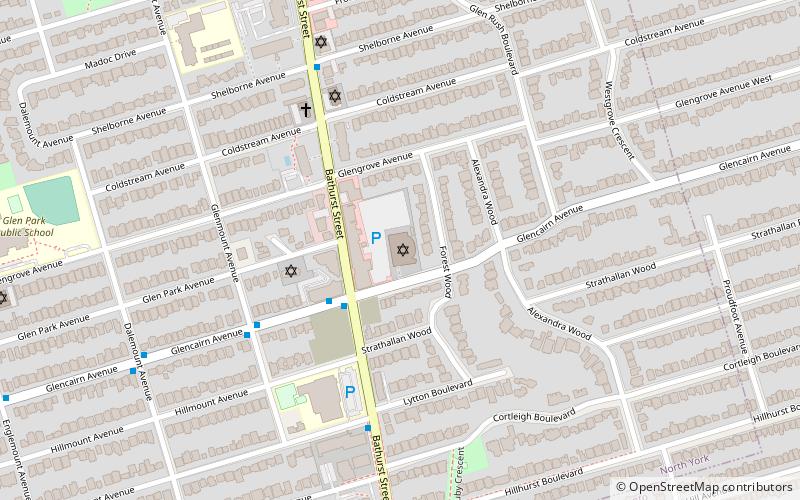
Map

Facts and practical information
Completed: 1966 (60 years ago)Coordinates: 43°42'47"N, 79°25'38"W
Day trips
Shaarei Shomayim – popular in the area (distance from the attraction)
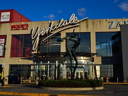
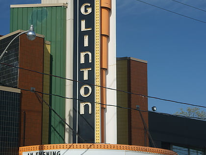
Nearby attractions include: Yorkdale Shopping Centre, Lawrence Allen Centre, Eglinton Theatre, Congregation Habonim Toronto.
Frequently Asked Questions (FAQ)
Which popular attractions are close to Shaarei Shomayim?
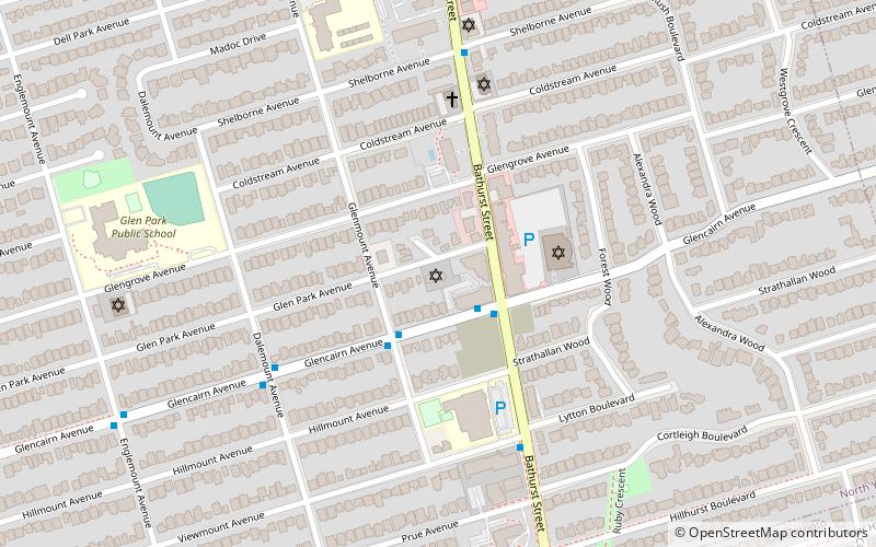
Nearby attractions include Congregation Habonim Toronto, Toronto (3 min walk), Roselawn Avenue Cemetery, Toronto (15 min walk), Allenby, Toronto (17 min walk), Asbury & West United Church, Toronto (18 min walk).
How to get to Shaarei Shomayim by public transport?
The nearest stations to Shaarei Shomayim:
Bus
Metro
Bus
- Brucewood Crescent • Lines: 400 (13 min walk)
- Brookview Drive • Lines: 400 (14 min walk)
Metro
- Glencairn • Lines: 1 (19 min walk)
- Lawrence West • Lines: 1 (22 min walk)
 Subway
 Streetcar system
 PATH
PATH