Québec Pavilion, Montreal
Map

Map

Facts and practical information
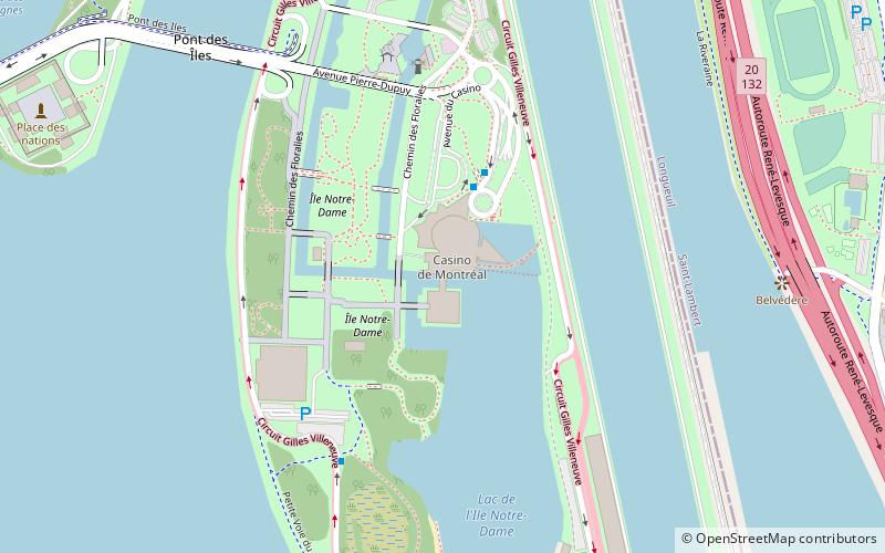
The Québec Pavilion at Expo 67 in Montreal was a steel and glass frustum structure built above a body of water between the Ontario and French Pavilions on Notre Dame Island. ()
Coordinates: 45°30'18"N, 73°31'34"W
Address
Île Notre-DameMontreal
ContactAdd
Social media
Add
Day trips
Québec Pavilion – popular in the area (distance from the attraction)
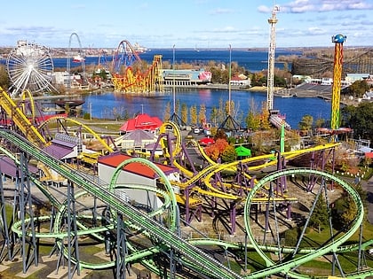
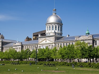
Nearby attractions include: Montreal Science Centre, La Ronde, Montreal Biosphère, Marché Bonsecours.
Frequently Asked Questions (FAQ)
Which popular attractions are close to Québec Pavilion?
Nearby attractions include Casino de Montréal, Montreal (1 min walk), Circuit Gilles Villeneuve, Montreal (9 min walk), Parc Jean-Drapeau, Montreal (10 min walk), Pont de la Concorde, Montreal (16 min walk).
How to get to Québec Pavilion by public transport?
The nearest stations to Québec Pavilion:
Bus
Metro
Train
Bus
- Casino de Montréal • Lines: 777-E, 777-O (3 min walk)
- Station Jean-Drapeau • Lines: 777-E, 777-O (15 min walk)
Metro
- Jean-Drapeau • Lines: 4 (16 min walk)
Train
- Saint-Lambert (26 min walk)

 Metro
Metro


