Queensborough, New Westminster
Map

Map

Facts and practical information
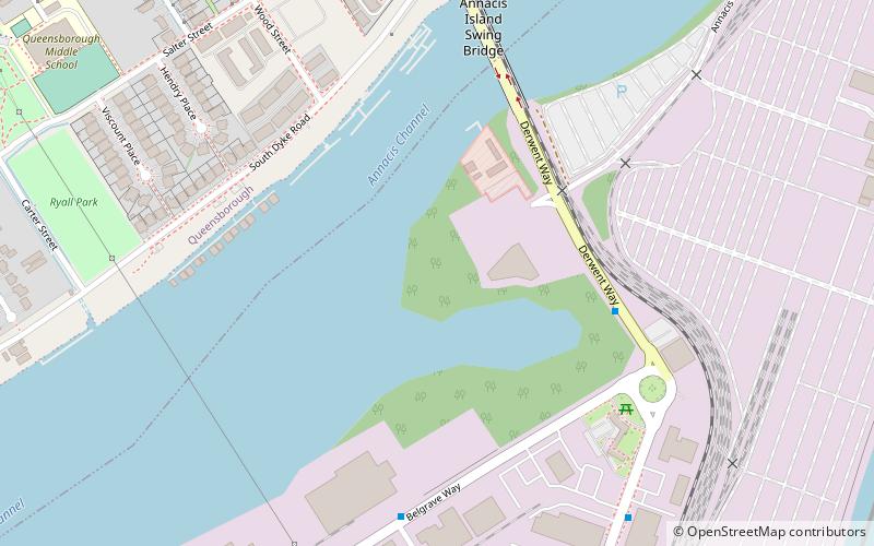
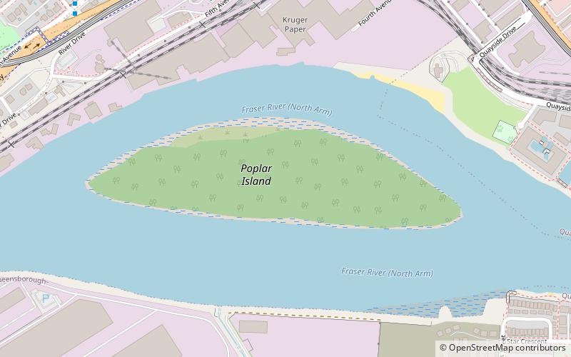
Queensborough is a neighbourhood in the city of New Westminster, British Columbia, Canada. It is on the eastern tip of Lulu Island on the Fraser River. ()
Coordinates: 49°11'0"N, 122°56'0"W
Address
New Westminster
ContactAdd
Social media
Add
Day trips
Queensborough – popular in the area (distance from the attraction)
Nearby attractions include: Queensborough Bridge, Fraser River Discovery Centre, Annacis Island, Annacis Island Swing Bridge.
Frequently Asked Questions (FAQ)
How to get to Queensborough by public transport?
The nearest stations to Queensborough:
Bus
Metro
Bus
- Derwent Way at Belgrave Way • Lines: 104 (5 min walk)
- Belgrave Way at Caldew St • Lines: 104 (6 min walk)
Metro
- 22nd Street • Lines: Expo Line (35 min walk)


