Queensborough Bridge, New Westminster
Map

Map

Facts and practical information
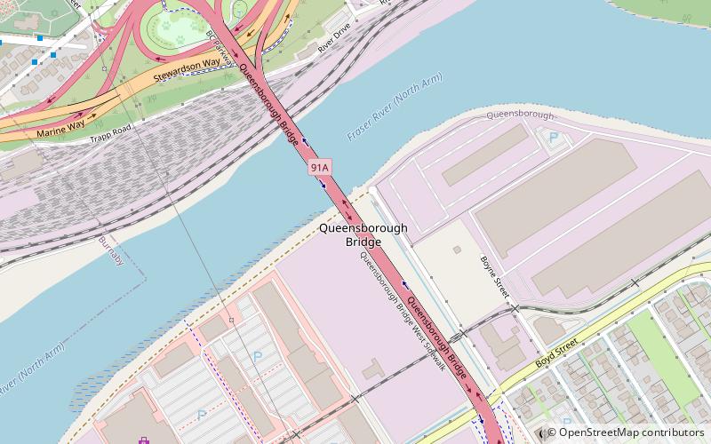
Queensborough Bridge is a highway bridge in New Westminster, British Columbia. It was built in 1960 by John Laing and Son for the City of New Westminster and cost $4 million. The bridge spans the north arm of the Fraser River for road access from the main part of New Westminster to the suburb of Queensborough at the east end of Lulu Island, giving the bridge its name. ()
Length: 3031 ftCoordinates: 49°11'43"N, 122°56'46"W
Address
North Arm SouthNew Westminster
ContactAdd
Social media
Add
Day trips
Queensborough Bridge – popular in the area (distance from the attraction)
Nearby attractions include: Royal City Centre, New Westminster Public Library, Queensborough, Annacis Island Swing Bridge.
Frequently Asked Questions (FAQ)
Which popular attractions are close to Queensborough Bridge?
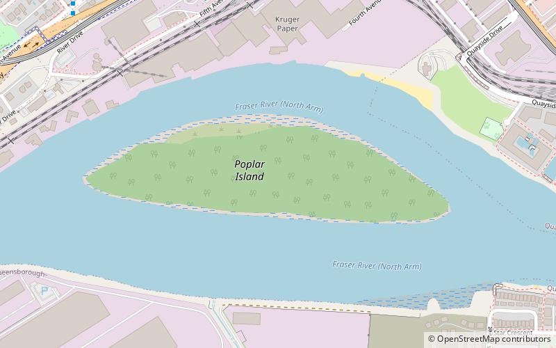
Nearby attractions include Poplar Island, New Westminster (16 min walk), Annacis Island Swing Bridge, New Westminster (23 min walk).
How to get to Queensborough Bridge by public transport?
The nearest stations to Queensborough Bridge:
Bus
Metro
Bus
- 22nd Street Station Bay 4 • Lines: 410 (9 min walk)
- 22nd Street Station Bay 3 • Lines: 104 (9 min walk)
Metro
- 22nd Street • Lines: Expo Line (10 min walk)
- Edmonds • Lines: Expo Line (34 min walk)


