Papineau Avenue, Montreal
Map
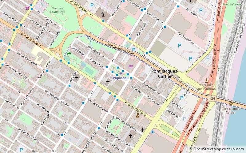
Map

Facts and practical information
Papineau Avenue is the longest north–south street in Montreal, Quebec, Canada. The part of the street between Henri Bourassa Boulevard and Quebec Autoroute 40 is the Montreal portion of Quebec Autoroute 19, commonly referred to as Autoroute Papineau. North of Henri Bourassa Boulevard, it becomes a true autoroute before crossing the Rivière des Prairies on the Papineau-Leblanc Bridge. In the south, the avenue ends at Notre-Dame Street. ()
Length: 6.52 miElevation: 59 ft a.s.l.Coordinates: 45°31'25"N, 73°33'7"W
Address
Ville-Marie District (Sainte-Marie)Montreal
ContactAdd
Social media
Add
Day trips
Papineau Avenue – popular in the area (distance from the attraction)
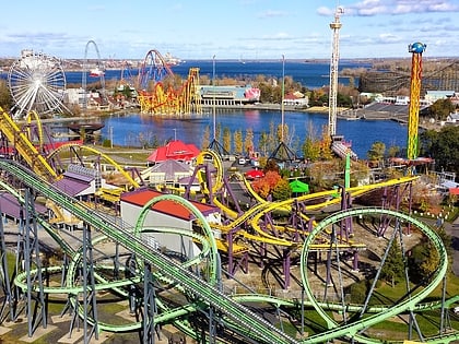
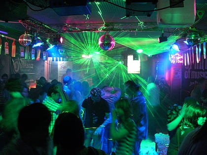
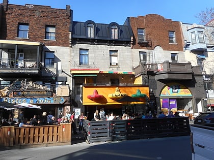
Nearby attractions include: La Ronde, Stereo, Saint Denis Street, Vampire.
Frequently Asked Questions (FAQ)
Which popular attractions are close to Papineau Avenue?
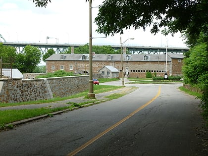
Nearby attractions include Centre-Sud, Montreal (1 min walk), De Lorimier Avenue, Montreal (3 min walk), Pied-du-Courant Prison, Montreal (8 min walk), Church of Saint-Pierre-Apôtre, Montreal (9 min walk).
How to get to Papineau Avenue by public transport?
The nearest stations to Papineau Avenue:
Bus
Metro
Train
Bus
- Station Papineau • Lines: 10-N, 10-S, 15-E, 15-O, 150-E, 150-O, 34-E, 34-O, 45-N, 45-S (1 min walk)
- Papineau / Sainte-Catherine • Lines: 45-S (2 min walk)
Metro
- Papineau • Lines: 1 (1 min walk)
- Beaudry • Lines: 1 (10 min walk)
Train
- Village (20 min walk)
- Fort Edmonton (21 min walk)

 Metro
Metro