Papineau-Leblanc Bridge, Laval
Map

Gallery

Facts and practical information
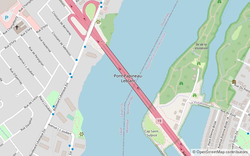
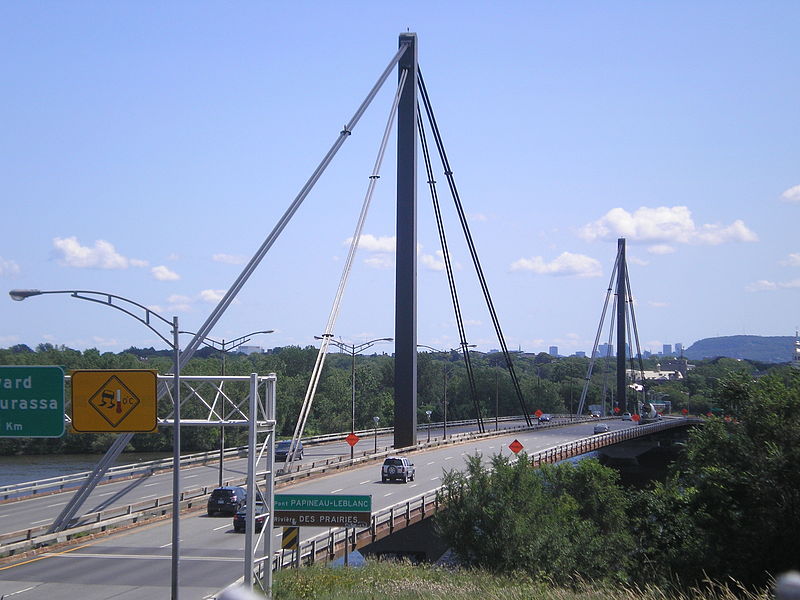
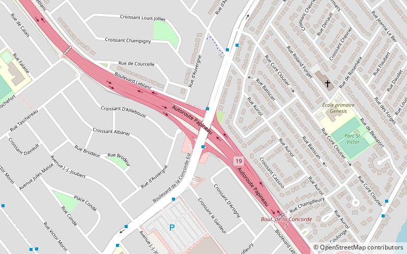
The Papineau-Leblanc Bridge was one of the first cable-stayed spans in North America. It is part of Quebec Autoroute 19 and is one of the connections between Laval and Montreal, Quebec, Canada, spanning Rivière des Prairies. It was fabricated from weathering steel and has an orthotropic deck. The freeway ends abruptly at the southern end of the bridge at the intersection of Henri Bourassa Boulevard, where Autoroute 19 follows Avenue Papineau down to Quebec Autoroute 40. ()
Opened: 1969 (57 years ago)Length: 1380 ftWidth: 89 ftCoordinates: 45°34'34"N, 73°40'2"W
Day trips
Papineau-Leblanc Bridge – popular in the area (distance from the attraction)
Nearby attractions include: Parc-nature de l'Île-de-la-Visitation, La Visitation, Sault-au-Récollet, Montreal Zen Center.
Frequently Asked Questions (FAQ)
Which popular attractions are close to Papineau-Leblanc Bridge?
Nearby attractions include Parc-nature de l'Île-de-la-Visitation, Montreal (11 min walk), La Visitation, Montreal (13 min walk), De la Concorde overpass collapse, Laval (17 min walk), Pont-Viau, Laval (23 min walk).
How to get to Papineau-Leblanc Bridge by public transport?
The nearest stations to Papineau-Leblanc Bridge:
Bus
Metro
Bus
- Lévesque / Autoroute 19 • Lines: 222E, 222O, 22E, 22O (7 min walk)
- Lévesque / De Sabrevois • Lines: 222O, 22O (5 min walk)
Metro
- Cartier • Lines: 2 (34 min walk)


