Sault-au-Récollet, Montreal
Map

Map

Facts and practical information
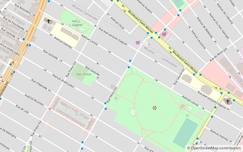
Sault-au-Récollet is a neighbourhood in Montreal. It is located in the eastern edge of the borough of Ahuntsic-Cartierville bordering the Rivière des Prairies. Autoroute 19 connects Sault-au-Récollet to the city of Laval. The neighbourhood was designated as a heritage site by the city of Montreal in 1992. ()
Coordinates: 45°34'40"N, 73°38'45"W
Address
Ahuntsic-Cartierville (Ahuntsic)Montreal
ContactAdd
Social media
Add
Day trips
Sault-au-Récollet – popular in the area (distance from the attraction)
Nearby attractions include: Parc-nature de l'Île-de-la-Visitation, La Visitation, Papineau-Leblanc Bridge, Montreal Zen Center.
Frequently Asked Questions (FAQ)
Which popular attractions are close to Sault-au-Récollet?
Nearby attractions include Parc-nature de l'Île-de-la-Visitation, Montreal (17 min walk), La Visitation, Montreal (24 min walk).
How to get to Sault-au-Récollet by public transport?
The nearest stations to Sault-au-Récollet:
Bus
Train
Bus
- Fleury / Larose • Lines: 140-E, 140-O (2 min walk)
- Saint-Michel / Fleury • Lines: 67-N, 67-S (5 min walk)
Train
- Saint-Michel–Montréal-Nord (22 min walk)

 Metro
Metro


