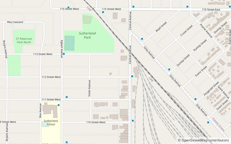
Saskatoon Sutherland, Saskatoon
Map
Facts and practical information
- Sutherland is a neighborhood or subdivision of the University Heights SDA, Saskatoon, Saskatchewan.
Saskatoon Sutherland was a provincial electoral district for the Legislative Assembly of Saskatchewan, Canada. It was last contested in the 2011 provincial election before being dissolved into Saskatoon Silverspring-Sutherland and Saskatoon University. ()
Coordinates: 52°8'28"N, 106°35'60"W
Address
University Heights (Sutherland)Saskatoon
ContactAdd
Social media
Add
Getting there by public transportation
Public transportation stops near this location
- Bus
 Bus
Bus
- Calculate routePreston Avenue & Preston Crossing 25 min walk
- Calculate routeResources Row & Innovation Boulevard 28 min walk
- Calculate routeResearch Drive & Resources Row 28 min walk
Day trips


Frequently Asked Questions (FAQ)
Which popular attractions are close to Saskatoon Sutherland?
Nearby attractions include Paddock Wood Brewing Co., Saskatoon (19 min walk), Sutherland Industrial, Saskatoon (21 min walk), Holy Family Cathedral, Saskatoon (21 min walk), Rugby Chapel, Saskatoon (23 min walk).
How to get to Saskatoon Sutherland by public transport?
The nearest stations to Saskatoon Sutherland:
Bus
Bus
- Preston Avenue & Preston Crossing • Lines: 13 (25 min walk)
- Resources Row & Innovation Boulevard • Lines: 13 (28 min walk)