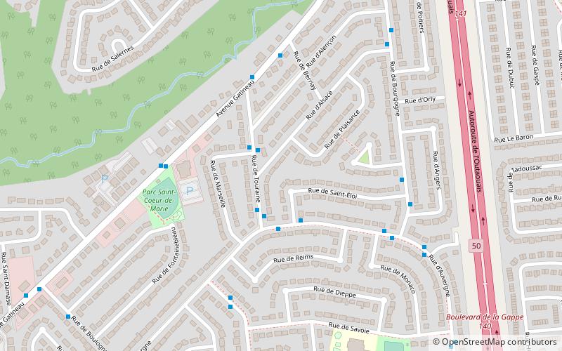
Touraine District, Gatineau
Map
Facts and practical information
The Touraine District is a municipal district in the city of Gatineau, Quebec. It is represented on Gatineau City Council by Tiffany-Lee Norris Parent of Action Gatineau. The district was known as Riverains from 2002 to 2009. ()
Coordinates: 45°28'48"N, 75°43'12"W
Address
RivieraGatineau
ContactAdd
Social media
Add
Getting there by public transportation
Public transportation stops near this location
- Bus
 Bus
Bus
- Calculate routeDe Picardie/De Provence 16 min walk
- Calculate routeDes Flandres/De Piedmont 18 min walk
- Calculate routede Turin/des Flandres 19 min walk
- Calculate routeStation de la Gappe #2 20 min walk
Day trips


Frequently Asked Questions (FAQ)
How to get to Touraine District by public transport?
The nearest stations to Touraine District:
Bus
Bus
- De Picardie/De Provence • Lines: 15 (16 min walk)
- Des Flandres/De Piedmont • Lines: 15 (18 min walk)