Calgary-Cross, Calgary
Map
Facts and practical information
Coordinates: 51°4'48"N, 113°58'48"W
Address
Northeast Calgary (The Properties)Calgary
ContactAdd
Social media
Add
Getting there by public transportation
Public transportation stops near this location
- Bus
- Light rail
 Bus
Bus
- Calculate routeRundle 8 min walk
- Calculate routeWhitehorn 11 min walk
- Calculate routeRundle LRT Station 10 min walk
- Calculate routeWhitehorn 13 min walk
Day trips

Frequently Asked Questions (FAQ)
Which popular attractions are close to Calgary-Cross?
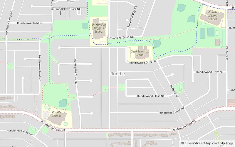
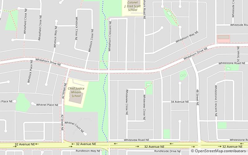
Nearby attractions include Whitehorn, Calgary (15 min walk), Rundle, Calgary (17 min walk).
How to get to Calgary-Cross by public transport?
The nearest stations to Calgary-Cross:
Light rail
Bus
Light rail
- Rundle • Lines: 202 (8 min walk)
- Whitehorn • Lines: 202 (11 min walk)
Bus
- Rundle LRT Station • Lines: 303 (10 min walk)
- Whitehorn (13 min walk)