Rundle, Calgary
Map
Facts and practical information
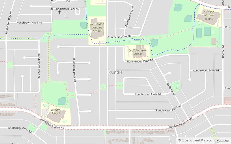
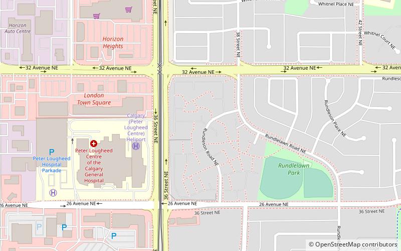
Rundle is a residential neighbourhood in the northeast quadrant of Calgary, Alberta. It is bounded by 32 Avenue NE to the north, 16 Avenue NE to the south, 52 Street NE to the east and 36 Street NE to the west. The Sunridge Mall is located immediately west of the neighbourhood. Rundle is home to a large Lebanese group. ()
Area: 1 mi²Coordinates: 51°4'24"N, 113°58'10"W
Getting there by public transportation
Public transportation stops near this location
- Bus
- Light rail
 Bus
Bus
- Calculate routeRundle LRT Station 14 min walk
- Calculate routeWhitehorn 29 min walk
- Calculate routeRundle 15 min walk
- Calculate routeWhitehorn 27 min walk
- Calculate routeMarlborough 30 min walk
Day trips


Frequently Asked Questions (FAQ)
Which popular attractions are close to Rundle?
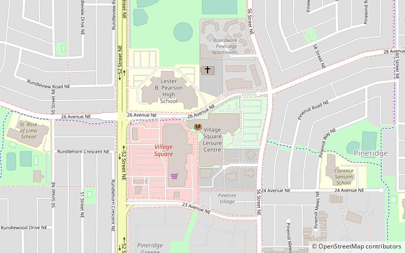
Nearby attractions include Village Square Leisure Centre, Calgary (17 min walk), Calgary-Cross, Calgary (17 min walk), Whitehorn, Calgary (20 min walk).
How to get to Rundle by public transport?
The nearest stations to Rundle:
Bus
Light rail
Bus
- Rundle LRT Station • Lines: 303 (14 min walk)
- Whitehorn (29 min walk)
Light rail
- Rundle • Lines: 202 (15 min walk)
- Whitehorn • Lines: 202 (27 min walk)