Ramsay, Calgary

Map
Facts and practical information
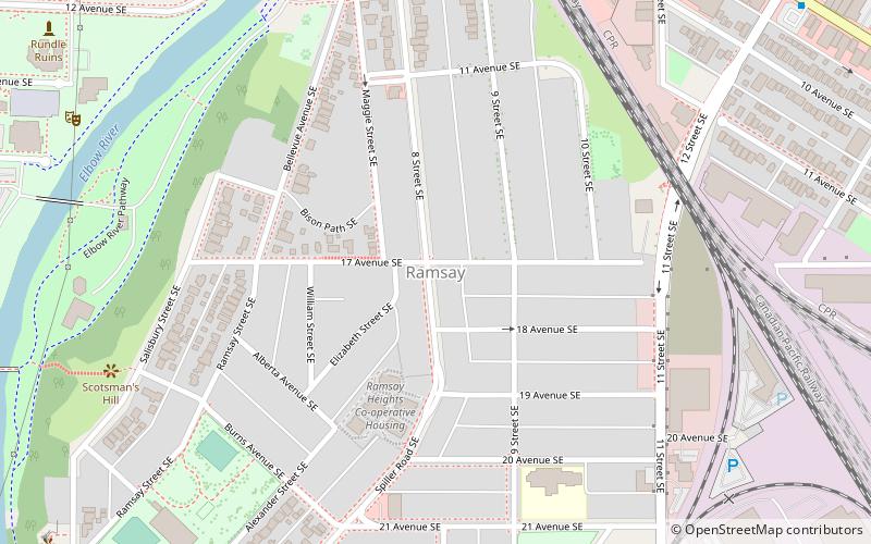
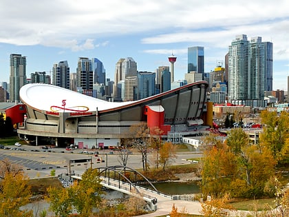
Ramsay is a residential neighbourhood in the southeast quadrant of Calgary, Alberta. It is an inner city community, located east of the Elbow River, Macleod Trail, Stampede Grounds and the Scotiabank Saddledome arena and south of Inglewood. To the southeast, it borders the Alyth-Bonny Brook industrial area. The eastern half of the community consists primarily of older homes and there is an industrial area in the most eastern corner of the community. ()
Area: 222.39 acres (0.3475 mi²)Coordinates: 51°2'16"N, 114°2'28"W
Day trips
Ramsay – popular in the area (distance from the attraction)
Nearby attractions include: Scotiabank Saddledome, 17 Avenue SW, Calgary Tower, Calgary Zoo.
Frequently Asked Questions (FAQ)
Which popular attractions are close to Ramsay?
Nearby attractions include Fort Calgary, Calgary (15 min walk), Loose Moose Theatre, Calgary (16 min walk), Stampede Grandstand, Calgary (17 min walk), BMO Centre, Calgary (18 min walk).
How to get to Ramsay by public transport?
The nearest stations to Ramsay:
Bus
Light rail
Train
Bus
- Stop ID 8844 • Lines: 1 (10 min walk)
- 9 Avenue & 12 Street SE • Lines: 1 (10 min walk)
Light rail
- Victoria Park/Stampede • Lines: 201 (19 min walk)
- Bridgeland/Memorial • Lines: 202 (21 min walk)
Train
- Calgary (30 min walk)


