
Pender Island Travel Guide
Facts and practical information
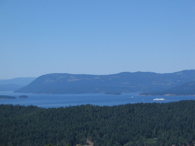
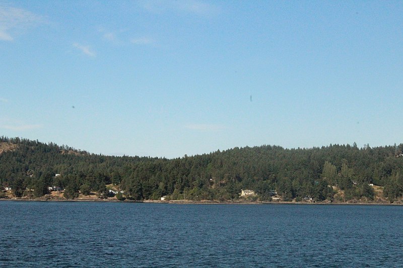
Pender Island is a picturesque and tranquil destination located in the Gulf Islands of British Columbia, Canada. With its lush forests, crystal-clear waters, and stunning coastal landscapes, Pender Island is a haven for nature lovers and outdoor enthusiasts.
Visitors to Pender Island can explore the island's numerous hiking trails, which offer breathtaking views of the surrounding ocean and mountains. From leisurely strolls through ancient forests to challenging treks to panoramic viewpoints, there is a hiking experience for every level of adventurer.
For those who prefer to explore the island by water, Pender Island offers excellent opportunities for kayaking, sailing, and boating. The island's sheltered bays and coves are perfect for paddling adventures, and the surrounding waters are teeming with marine life, making it a prime spot for wildlife watching.
Pender Island is also home to a vibrant arts and culture scene, with numerous galleries and studios showcasing the work of local artists and artisans. Visitors can browse through unique handmade crafts, pottery, and paintings, or even take part in a workshop to create their own masterpiece.
Foodies will delight in the island's culinary offerings, which include farm-to-table restaurants, cozy cafes, and local markets featuring fresh, seasonal produce and seafood. Pender Island's dining scene is a delicious reflection of the region's natural bounty, and visitors can savor the flavors of the Pacific Northwest while enjoying stunning waterfront views.
British Columbia
Pender Island Attractions - What to See and Explore
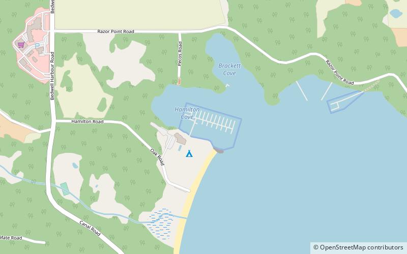
Pender Island offers many attractions and places to visit. Here are the most important ones: Port Browning Marina. Below you will find a complete list of places worth visiting.
Best Time To Visit Pender Island
Learn when is the best time to travel to Pender Island weather-wise and what to expect in each season.