Trek Zone

Port Browning Marina, Pender Island

#2 among attractions in Pender Island

Top attraction, Harbor
Port Browning Marina location map
Map

Facts and practical information
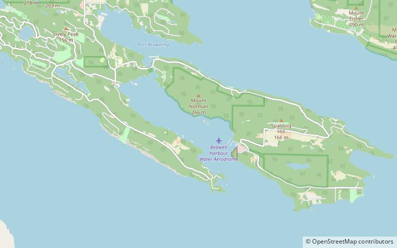
Coordinates: 48°46'37"N, 123°16'26"W
Address

4605 Oak Rd., V0N 2M0Pender Island Canada

Contact
Social media
Add
Day trips

Port Browning Marina – popular in the area (distance from the attraction)

Nearby attractions include: Moresby Island, Pender Island Golf and Country Club, Mount Warburton Pike, Ruckle Provincial Park.

  • moresby island3.6 miSW
  • pender island golf and country club2.6 miNW
  • mount warburton pike saturna island location map
    4.7 miE
  • ruckle provincial park salt spring island5 miW
  • mayne island4.8 miN
  • portland island gulf islands national park reserve5.7 miSW
  • skull islet sidney location map
    2.3 miSE

Where to next? Visit british columbia British Columbia region page or discover the top tourist attractions in Canada.