Côte-Saint-Luc Road, Montreal
Map
Facts and practical information
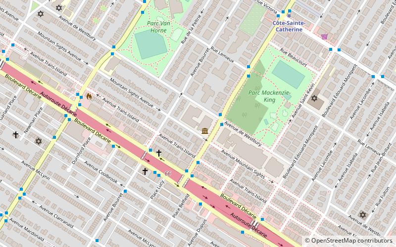
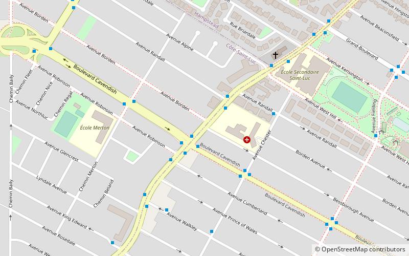
Côte-Saint-Luc Road is a street on the island of Montreal. It dates back to the French regime and used to comprise what is now Queen Mary Road. It begins at the Meadowbrook Golf Club in Côte-Saint-Luc and extends east to the Westmount, where it joins The Boulevard. Along the way, it defines the border between the Montreal borough of Notre-Dame-de-Grâce on the south and the cities of Hampstead and Côte-Saint-Luc on the north. ()
Coordinates: 45°28'20"N, 73°38'50"W
Address
Côte-des-Neiges-Notre-Dame-de-Gráce (Loyola)Montreal
ContactAdd
Social media
Add
Day trips
Côte-Saint-Luc Road – popular in the area (distance from the attraction)
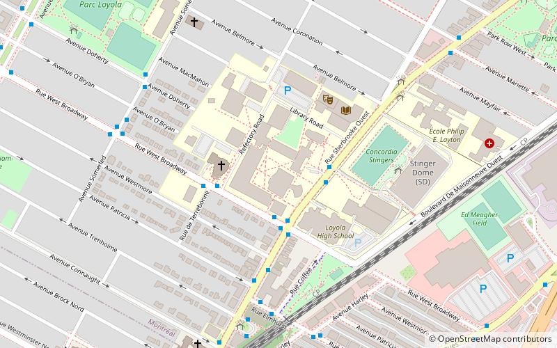
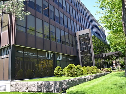
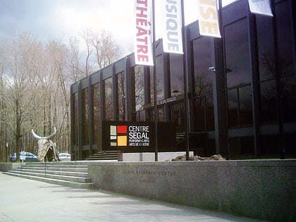
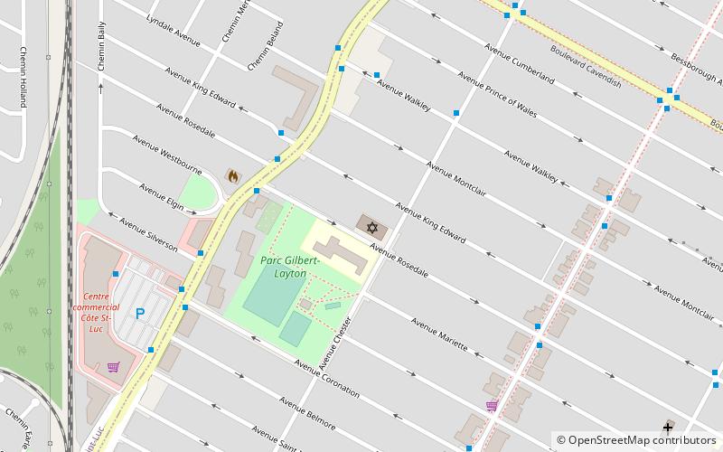
Nearby attractions include: Concordia Stadium, Montreal Holocaust Memorial Centre, Congregation Dorshei Emet, Segal Centre for Performing Arts.
Frequently Asked Questions (FAQ)
Which popular attractions are close to Côte-Saint-Luc Road?
Nearby attractions include Shaare Zedek Congregation, Montreal (9 min walk), Loyola, Montreal (17 min walk), Hampstead, Montreal (22 min walk), Notre Dame Island, Montreal (23 min walk).
How to get to Côte-Saint-Luc Road by public transport?
The nearest stations to Côte-Saint-Luc Road:
Bus
Metro
Bus
- Cavendish / Côte-Saint-Luc • Lines: 104-E, 104-O, 138-E, 138-O (2 min walk)
- Côte-Saint-Luc / Cavendish • Lines: 103-E, 103-O, 66-S (2 min walk)
Metro
- Snowdon • Lines: 2, 5 (36 min walk)
 Metro
Metro