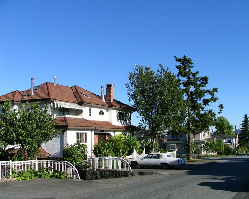
Willingdon Heights, Burnaby

Gallery (3)
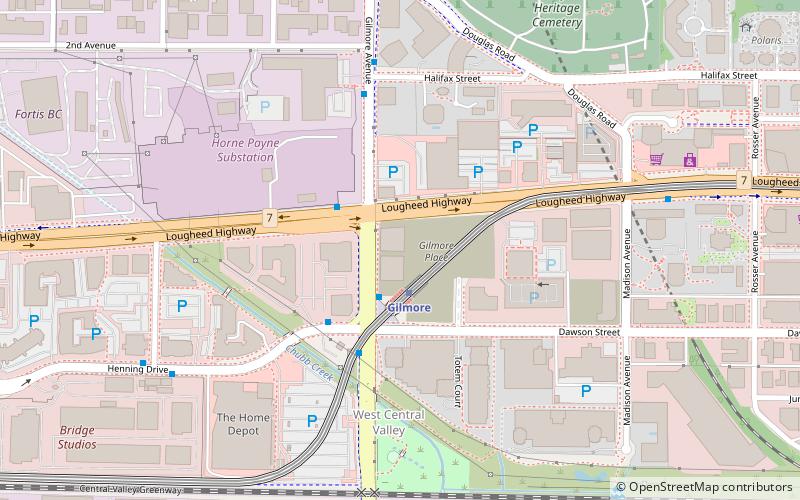
Map
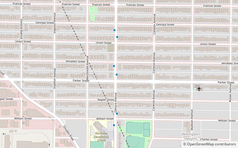
Map
Gallery
Facts and practical information
Willingdon Heights is a neighbourhood in Burnaby, British Columbia, Canada. It is named after a major Burnaby thoroughfare Willingdon Avenue connecting North Burnaby with Kingsway and the Metrotown area in the south. Willingdon Heights was developed significantly during construction spurred by the National Housing Act in 1944 that made mortgage money more widely available and provided joint loans for housing for veterans under the Integrated Housing Plan. ()
Coordinates: 49°16'34"N, 123°0'50"W
Address
Willingdon HeightsBurnaby
ContactAdd
Social media
Add
Getting there by public transportation
Public transportation stops near this location
- Metro
- Bus
- Trolleybus
 Metro
Metro
- Calculate routeGilmore Ave at Parker St 1 min walk
- Calculate routeKootenay Loop Bay 5 18 min walk
- Calculate routeEast Hastings St at Cassiar St 21 min walk
- Calculate routeBoundary Loop 23 min walk
- Calculate routeGilmore 20 min walk
- Calculate routeBrentwood Town Centre 23 min walk
- Calculate routeRupert 35 min walk
Day trips


Frequently Asked Questions (FAQ)
Which popular attractions are close to Willingdon Heights?
Nearby attractions include Thornton Tunnel, Burnaby (9 min walk), Two Gilmore Place, Burnaby (19 min walk), Burnaby Heights, Burnaby (20 min walk), Cassiar Tunnel, Vancouver (21 min walk).
How to get to Willingdon Heights by public transport?
The nearest stations to Willingdon Heights:
Bus
Trolleybus
Metro
Bus
- Gilmore Ave at Parker St • Lines: 129 (1 min walk)
Trolleybus
- Kootenay Loop Bay 5 • Lines: 14 (18 min walk)
- East Hastings St at Cassiar St • Lines: 14 (21 min walk)
Metro
- Gilmore • Lines: Millennium Line (20 min walk)
- Brentwood Town Centre • Lines: Millennium Line (23 min walk)