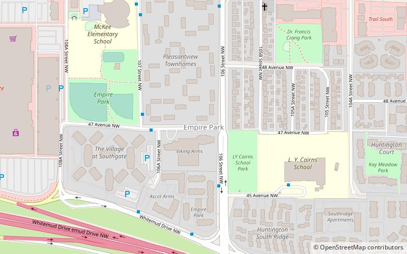
Empire Park, Edmonton
Map
Facts and practical information
Empire Park is a residential neighbourhood in southwest Edmonton, Alberta, Canada. A major shopping centre, Southgate Centre, is located at the west end of the Neighbourhood. ()
Area: 0.41 mi²Coordinates: 53°29'5"N, 113°30'19"W
Address
Southwest Edmonton (Empire Park)Edmonton
ContactAdd
Social media
Add
Getting there by public transportation
Public transportation stops near this location
- Bus
- Light rail
 Bus
Bus
- Calculate routeSouthgate Transit Centre 12 min walk
- Calculate routeRed Arrow Ramada Edmonton South 17 min walk
- Calculate route113 Street & 65 Ave 35 min walk
- Calculate route65 Ave & 113 Street 36 min walk
- Calculate routeSouthgate 13 min walk
Day trips

Frequently Asked Questions (FAQ)
Which popular attractions are close to Empire Park?
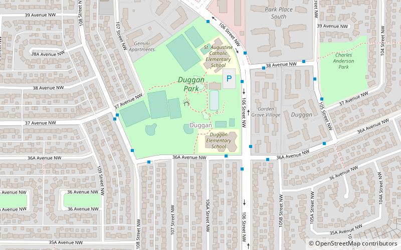
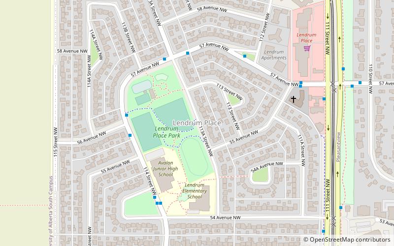
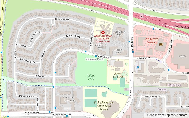
Nearby attractions include Rideau Park, Edmonton (11 min walk), Duggan, Edmonton (23 min walk), Lendrum Place, Edmonton (24 min walk).
How to get to Empire Park by public transport?
The nearest stations to Empire Park:
Bus
Light rail
Bus
- Southgate Transit Centre • Lines: 74 (12 min walk)
- Red Arrow Ramada Edmonton South • Lines: Ebus, Red Arrow (17 min walk)
Light rail
- Southgate • Lines: 501, 502 (13 min walk)