Duke Point, Nanaimo
Map
Gallery
Facts and practical information
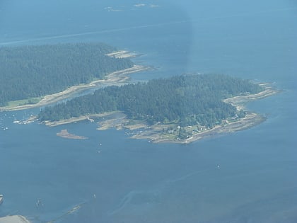
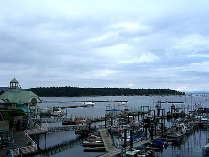
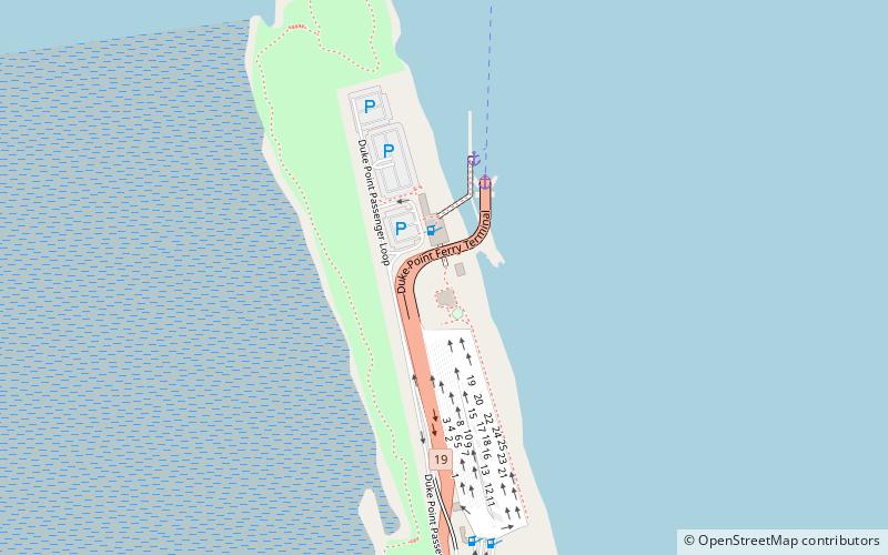
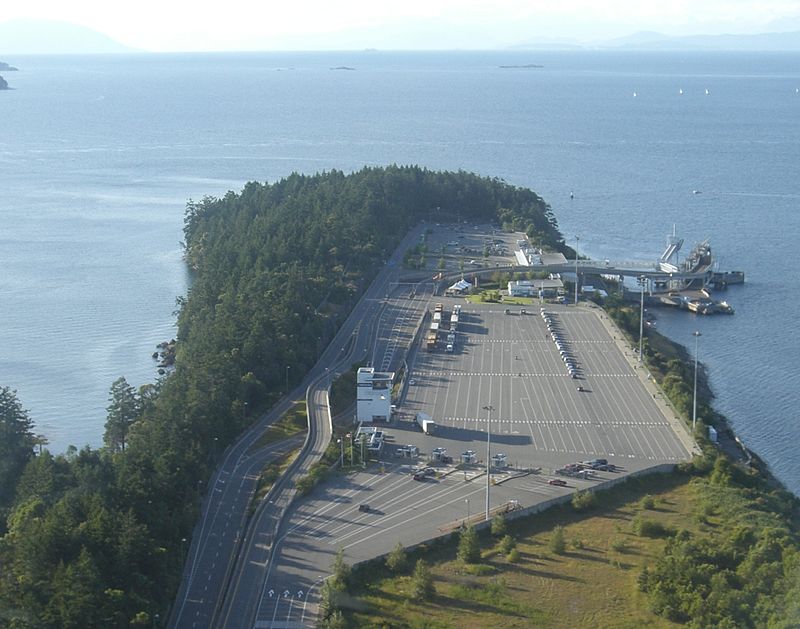
Duke Point is a geographical location in the extreme southeastern part of the city of Nanaimo in British Columbia. It is located on a thin peninsula to the east of the Nanaimo River estuary, just across the Northumberland Channel from Gabriola Island. ()
Coordinates: 49°9'41"N, 123°53'30"W
Address
Nanaimo
ContactAdd
Social media
Add
Day trips
Duke Point – popular in the area (distance from the attraction)
Nearby attractions include: Nanaimo Bastion, Port Place Shopping Centre, Beban Park Golf Course & Driving Range, Gabriola Sands Provincial Park.
Frequently Asked Questions (FAQ)
How to get to Duke Point by public transport?
The nearest stations to Duke Point:
Ferry
Ferry
- Nanaimo • Lines: 30 (3 min walk)
- Duke Point • Lines: 30 (3 min walk)

