South West Industrial, Saskatoon
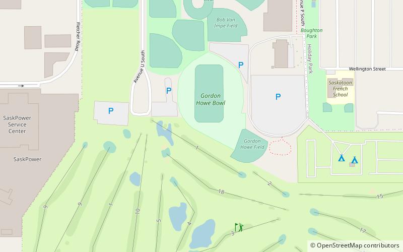
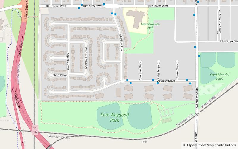
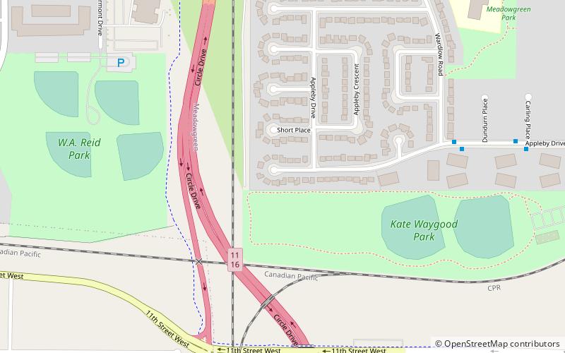
Map
Facts and practical information
Coordinates: 52°6'27"N, 106°41'54"W
Address
Confederation (Gordie Howe Management Area)Saskatoon
ContactAdd
Social media
Add
Day trips
South West Industrial – popular in the area (distance from the attraction)
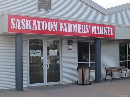
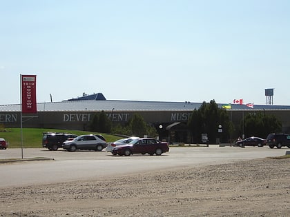
Nearby attractions include: Saskatoon Farmers' Market, Western Development Museum, Marquis Downs, Gordie Howe Bridge.
Frequently Asked Questions (FAQ)
Which popular attractions are close to South West Industrial?
Nearby attractions include Gordie Howe Bridge, Saskatoon (18 min walk), Grand Trunk Bridge, Saskatoon (19 min walk), Diefenbaker Management Area, Saskatoon (23 min walk).
How to get to South West Industrial by public transport?
The nearest stations to South West Industrial:
Bus
Bus
- Hillard Street & Saint Henry Avenue • Lines: 1 (20 min walk)
- Appleby & Avenue W • Lines: 2 (22 min walk)
