Plaza Bridge, Ottawa
Map
Gallery

Facts and practical information
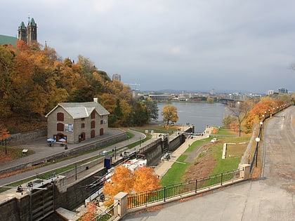
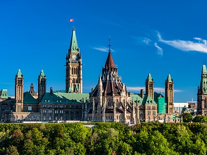
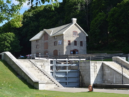
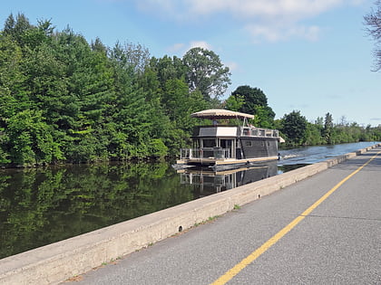
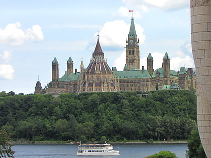
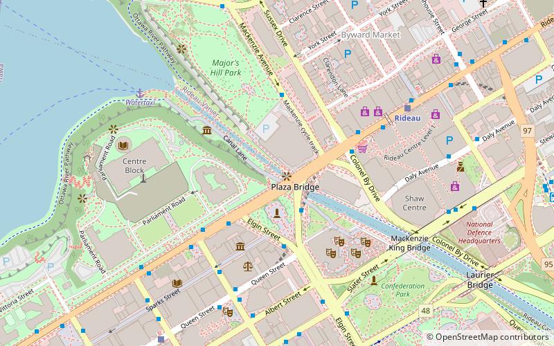
The Plaza Bridge in Ottawa, Ontario, Canada, is an automotive and pedestrian bridge that crosses the Rideau Canal just south of the Ottawa locks. It joins Wellington Street and Elgin Street in the Downtown core to the west with Rideau Street to the east. The Chateau Laurier abuts the bridge at the east end, while Parliament Hill is just beyond the west end. It is the northernmost bridge over the canal, just north of the Mackenzie King Bridge. ()
Coordinates: 45°25'30"N, 75°41'44"W
Address
Downtown OttawaOttawa
ContactAdd
Social media
Add
Day trips
Plaza Bridge – popular in the area (distance from the attraction)
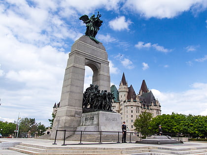
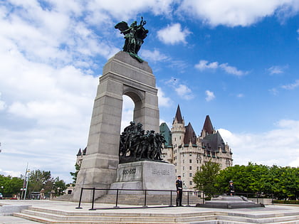
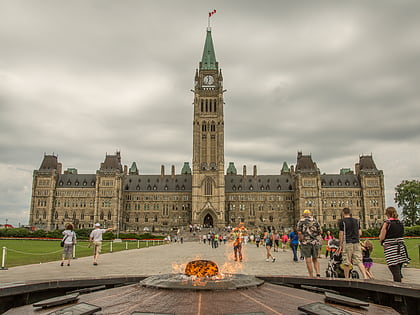
Nearby attractions include: Rideau Canal, Parliament Hill, Bytown Museum, National War Memorial.
Frequently Asked Questions (FAQ)
Which popular attractions are close to Plaza Bridge?
Nearby attractions include Canadian Museum of Contemporary Photography, Ottawa (1 min walk), Valiants Memorial, Ottawa (1 min walk), War of 1812 Monument, Ottawa (2 min walk), Confederation Square, Ottawa (2 min walk).
How to get to Plaza Bridge by public transport?
The nearest stations to Plaza Bridge:
Bus
Light rail
Bus
- Elgin / Wellington • Lines: 114, 14, 15, 17, 18, 5, 57, 6, 61, 7, 75 (2 min walk)
- Elgin / Queen • Lines: 11, 114, 12, 14, 15, 5, 57, 6, 61, 7, 75 (3 min walk)
Light rail
- Rideau O-Train West/Ouest • Lines: 1 (6 min walk)
- Parliament A • Lines: 1 (8 min walk)

