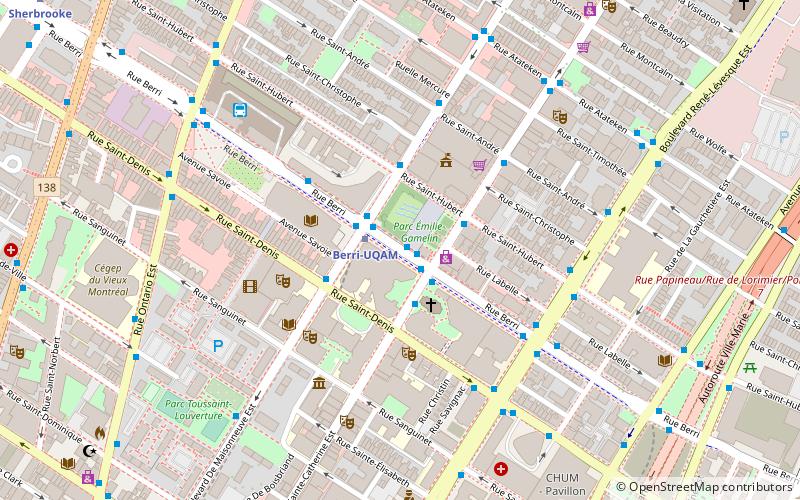
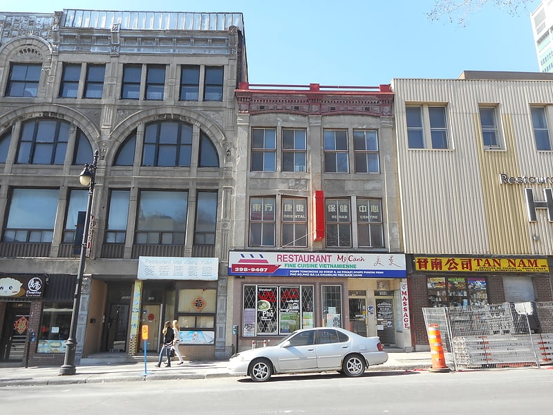
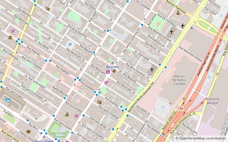
Berri Street, Montreal
Map
Facts and practical information
Berri Street is a major north–south street located in Montreal, Quebec, Canada. Berri Street links De la Commune Street in the south and Somerville Street in the north. The street is interrupted between Rosemont Boulevard and Jean Talon Street. ()
Coordinates: 45°30'54"N, 73°33'37"W
Address
Ville-Marie District (Quartier Ville-Marie)Montreal
ContactAdd
Social media
Add
Getting there by public transportation
Public transportation stops near this location
- Metro
- Bus
- Train
 Metro
Metro
- Calculate routeStation Berri-UQAM 2 min walk
- Calculate routeSainte-Catherine / Saint-Hubert 2 min walk
- Calculate routeDe Maisonneuve / Saint-André 5 min walk
- Calculate routeBerri-UQAM 2 min walk
- Calculate routeBeaudry 9 min walk
- Calculate routeSaint-Laurent 10 min walk
- Calculate routeChamp-de-Mars 10 min walk
- Calculate routeMontreal Central Station 28 min walk
- Calculate routeVillage 36 min walk
Maps Metro
Metro
MetroDay trips
Berri Street – popular in the area (distance from the attraction)
Nearby attractions include: St-Laurent, Saint Catherine Street, Stereo, Saint Denis Street.


Frequently Asked Questions (FAQ)
Which popular attractions are close to Berri Street?
Nearby attractions include Place Émilie-Gamelin, Montreal (1 min walk), Saint Hubert Street, Montreal (2 min walk), Chapelle Notre-Dame-DE-Lourdes, Montreal (2 min walk), Université du Québec à Montréal, Montreal (2 min walk).
How to get to Berri Street by public transport?
The nearest stations to Berri Street:
Bus
Metro
Train
Bus
- Station Berri-UQAM • Lines: 15-O, 30-N, 30-S, 427-E, 427-O, 747-E, 747-O (2 min walk)
- Sainte-Catherine / Saint-Hubert • Lines: 15-E (2 min walk)
Metro
- Berri-UQAM • Lines: 1, 2, 4 (2 min walk)
- Beaudry • Lines: 1 (9 min walk)
Train
- Montreal Central Station (28 min walk)
- Village (36 min walk)