Mount Royal Avenue, Montreal
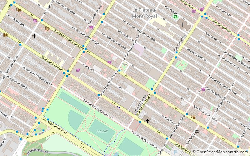
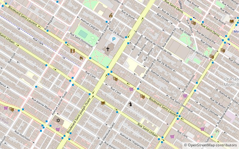
Map
Gallery

Facts and practical information
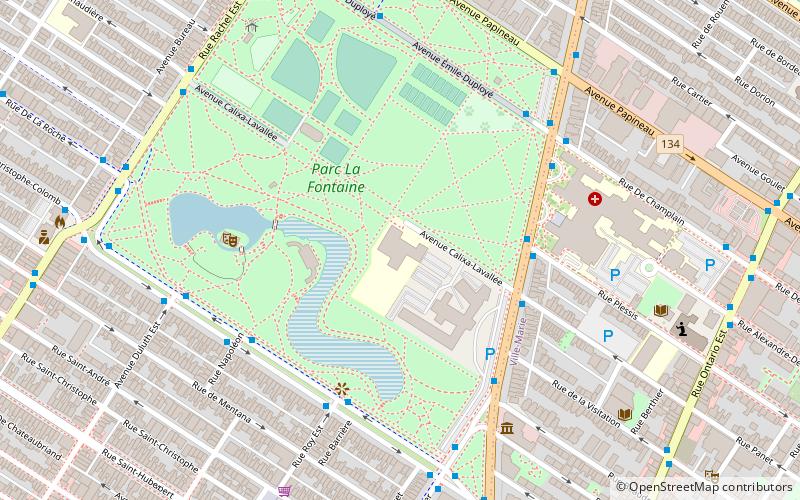
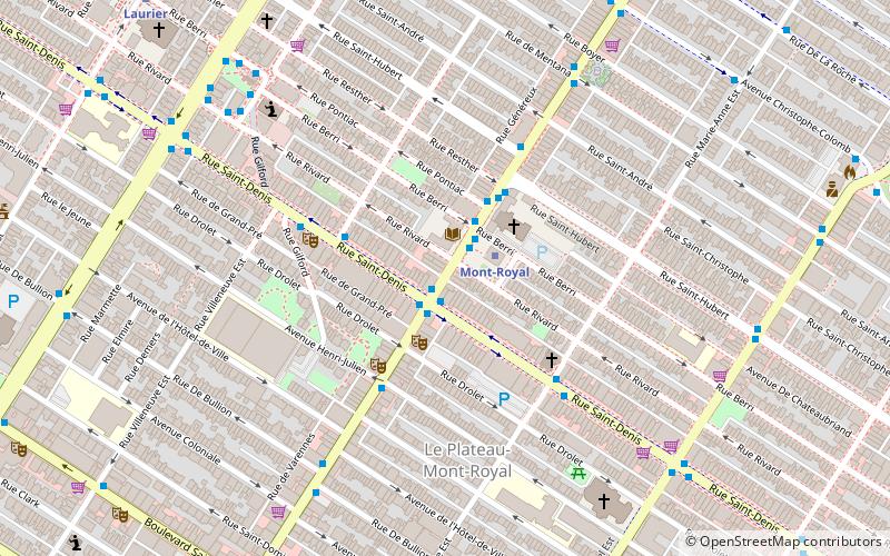
Mount Royal Avenue, once named Tannery Road, is a street in Montreal, Quebec, Canada. The main part of the street transects the borough of Le Plateau-Mont-Royal, from Park Avenue at the foot of Mount Royal, for which the road is named, to Frontenac St. Another section in Rosemont–La Petite-Patrie runs from Molson St. to Pie-IX Boulevard. West of Park Avenue, the road continues into Outremont, skirting the northern rim of the mountain until Vincent d'Indy Avenue. ()
Coordinates: 45°31'27"N, 73°34'57"W
Address
Plateau-Mont-Royal (Parc-La Fontaine)Montreal
ContactAdd
Social media
Add
Day trips
Mount Royal Avenue – popular in the area (distance from the attraction)
Nearby attractions include: Parc La Fontaine, Les Fusiliers Mont-Royal, La Centrale, Carré Saint-Louis.
Frequently Asked Questions (FAQ)
Which popular attractions are close to Mount Royal Avenue?
Nearby attractions include Mile End, Montreal (2 min walk), Saint-Jean-Baptiste Church, Montreal (7 min walk), Saint Joseph Boulevard, Montreal (8 min walk), Little Portugal, Montreal (10 min walk).
How to get to Mount Royal Avenue by public transport?
The nearest stations to Mount Royal Avenue:
Bus
Metro
Bus
- Station Mont-Royal • Lines: 11-E, 30-N, 30-S, 427-E, 427-O, 97-E (1 min walk)
- du Mont-Royal / Saint-Denis • Lines: 11-E, 11-O, 97-E, 97-O (1 min walk)
Metro
- Mont-Royal • Lines: 2 (2 min walk)
- Laurier • Lines: 2 (10 min walk)

 Metro
Metro

