Queen Street Arts and Culture District, Niagara Falls
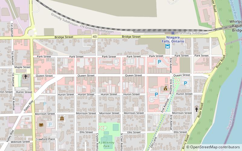
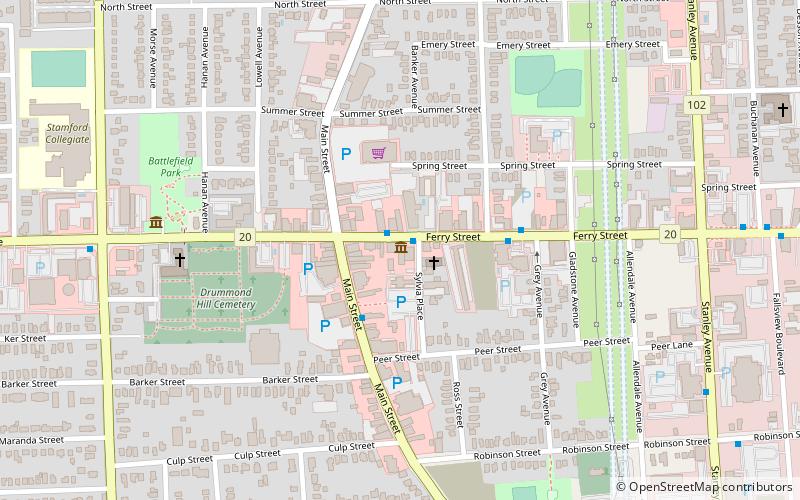
Map
Facts and practical information
The Queen Street Arts and Culture District is the old downtown area of Niagara Falls, Ontario, Canada. The street is now populated with art galleries, restaurants, and performing spaces. Home to the one of the Niagara Region's largest Festival, Springlicious. ()
Coordinates: 43°6'24"N, 79°4'1"W
Address
Elgin (Niagara Central Business District)Niagara Falls
ContactAdd
Social media
Add
Getting there by public transportation
Public transportation stops near this location
- Bus
- Train
 Bus
Bus
- Calculate routeNiagara Falls Bus Terminal 5 min walk
- Calculate routeStanley Ave. & Hwy 420 Park & Ride 30 min walk
- Calculate routeNiagara Falls, Ontario 7 min walk
Day trips


Frequently Asked Questions (FAQ)
Which popular attractions are close to Queen Street Arts and Culture District?
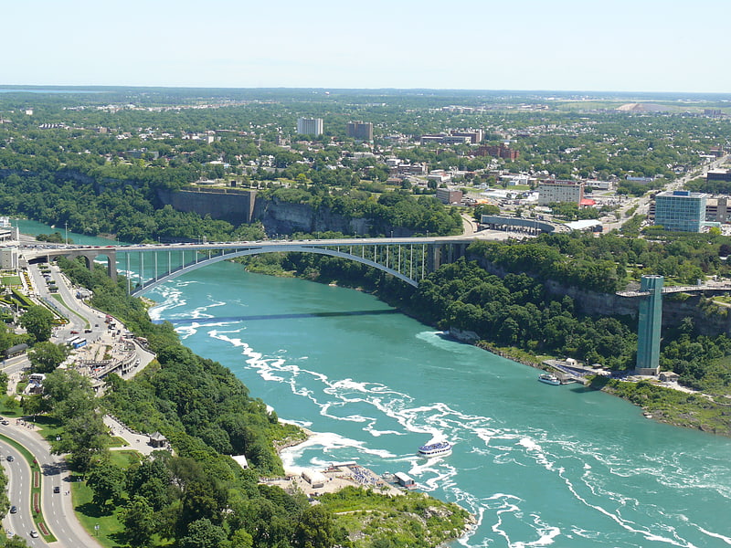
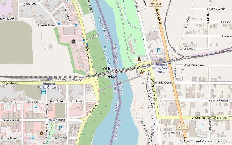
Nearby attractions include Niagara Cantilever Bridge, Niagara Falls (12 min walk), Michigan Central Railway Bridge, Niagara Falls (12 min walk), White Water Walk, Niagara Falls (12 min walk), Niagara Falls Suspension Bridge, Niagara Falls (13 min walk).
How to get to Queen Street Arts and Culture District by public transport?
The nearest stations to Queen Street Arts and Culture District:
Bus
Train
Bus
- Niagara Falls Bus Terminal • Lines: 12 (5 min walk)
- Stanley Ave. & Hwy 420 Park & Ride • Lines: 12 (30 min walk)
Train
- Niagara Falls, Ontario (7 min walk)