Skull Islet, Sidney

Map
Facts and practical information
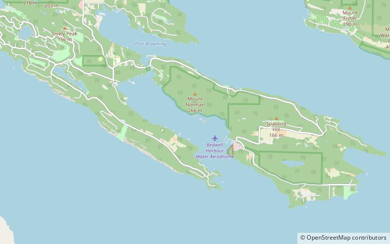
Skull Islet is a small islet just off the shore of South Pender Island in British Columbia. It is on the east side of Bedwell Harbour. Skull Islet is part of Gulf Islands National Park Reserve and is Authorized Access Only. ()
Coordinates: 48°45'7"N, 123°14'28"W
Address
Sidney
ContactAdd
Social media
Add
Day trips
Skull Islet – popular in the area (distance from the attraction)
Nearby attractions include: Moresby Island, Pender Island Golf and Country Club, Port Browning Marina, Mount Warburton Pike.


