Ribeira do Ilhéu, Fogo
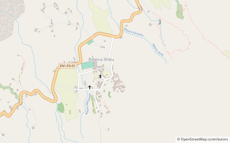
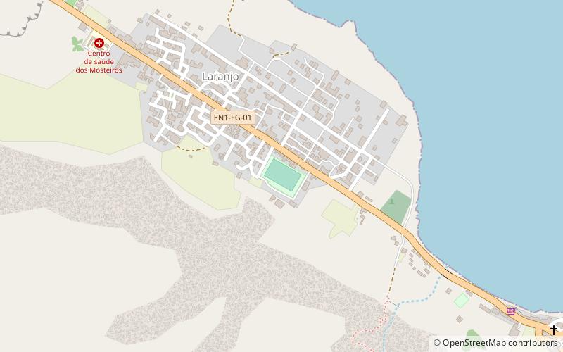
Map
Facts and practical information
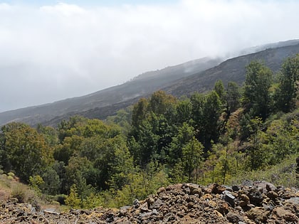
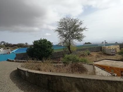
Ribeira do Ilhéu is a settlement in the northern part of the island of Fogo, Cape Verde. It is situated 6 km west of Mosteiros and 20 km northeast of the island capital São Filipe. The nearest village is Atalaia, 1.5 km to the southwest. The village's main festival is the festival of Saint Joseph that takes place on March 19. ()
Address
Fogo
ContactAdd
Social media
Add
Day trips
Ribeira do Ilhéu – popular in the area (distance from the attraction)
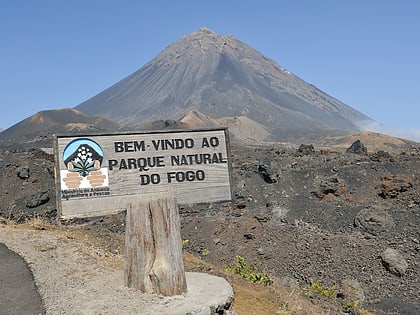
Nearby attractions include: Monte Velha, Curral Grande, Fogo Natural Park, Estádio Francisco José Rodrigues.
