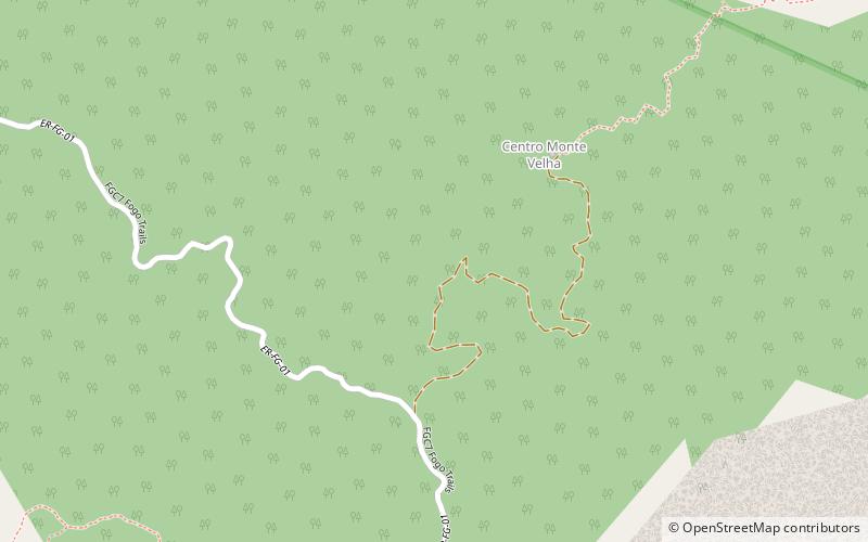
Monte Velha, Chã das Caldeiras
Gallery (2)
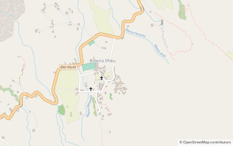
Map
Map
Gallery
Facts and practical information
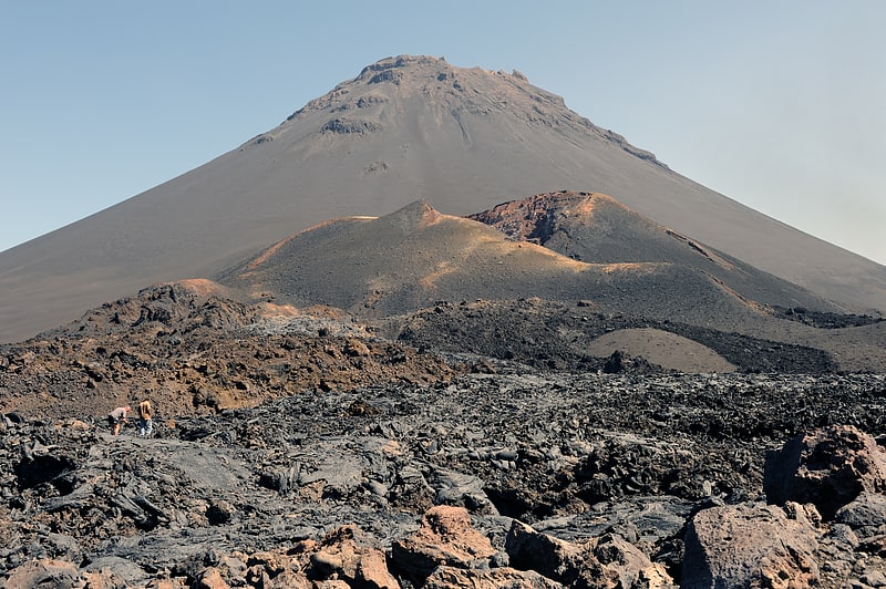
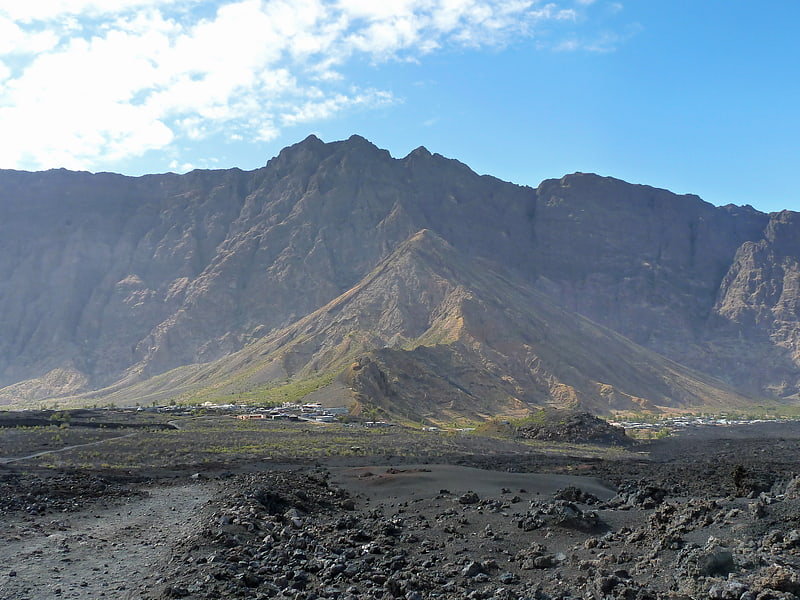
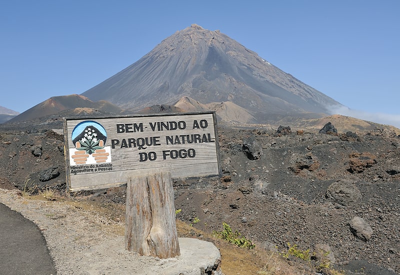
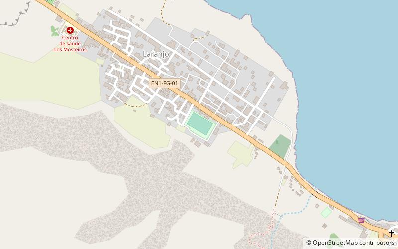
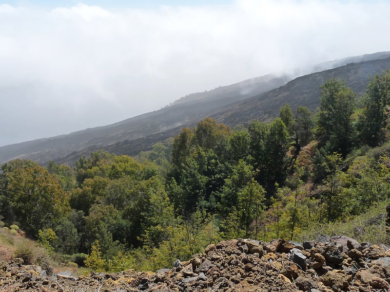
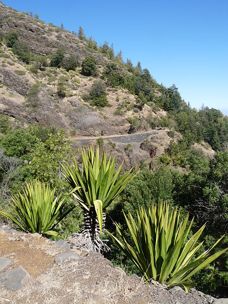
Monte Velha is a peak in the northeastern part of the island of Fogo in Cape Verde. Its elevation is 1,482 m. It is a subpeak of the Pico do Fogo volcano, located at the northeastern end of the crater rim. It lies within the municipality of Mosteiros, 4 km southwest of the city centre. Its forest is a protected area, part of the larger Fogo Natural Park. ()
Address
Chã das Caldeiras
ContactAdd
Social media
Add
Day trips