Monte Batalha, Maio
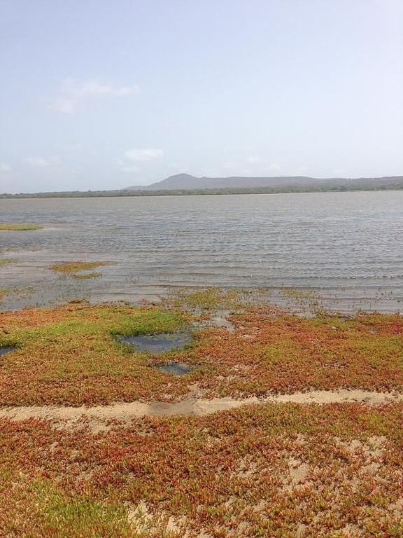
Gallery (1)
Map
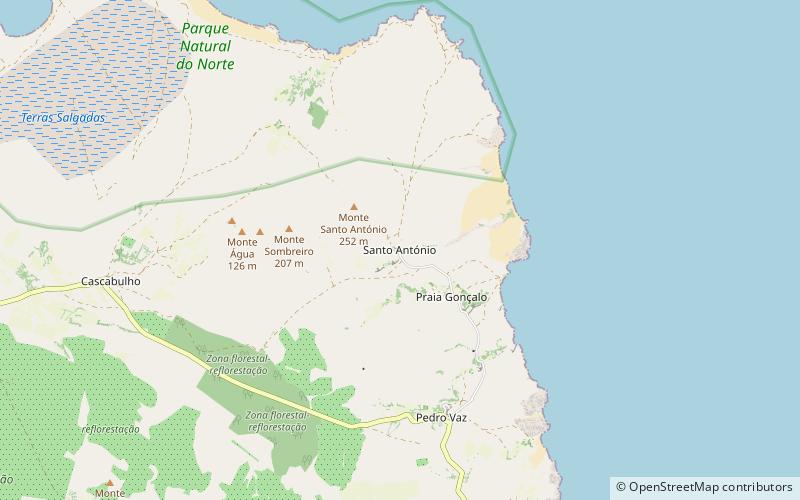
Map
Facts and practical information
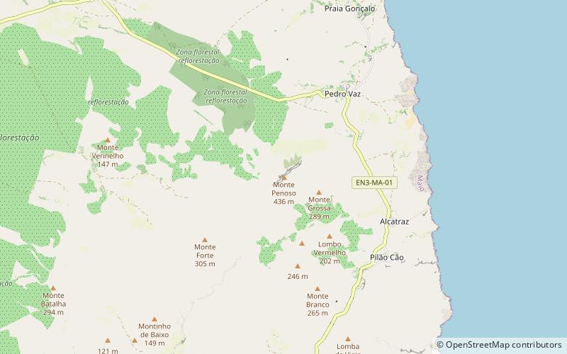
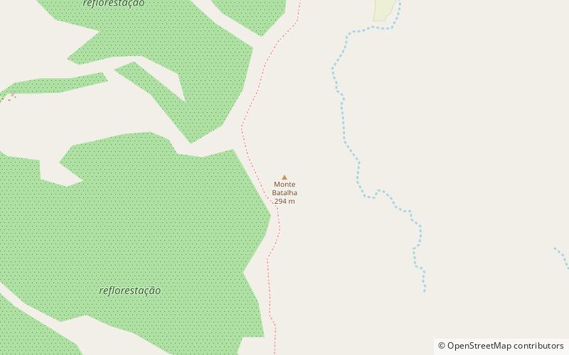
Monte Batalha is a mountain in the island of Maio in Cape Verde. Its elevation is 294 m. It is situated 4 km southeast of Calheta and 8 km northeast of the island capital Porto Inglês. ()
Address
Maio
ContactAdd
Social media
Add
Day trips